Welcome to the Wild West of Tenerife.
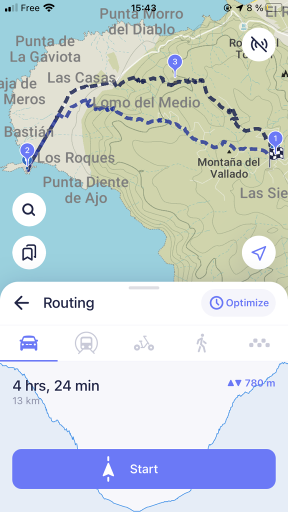
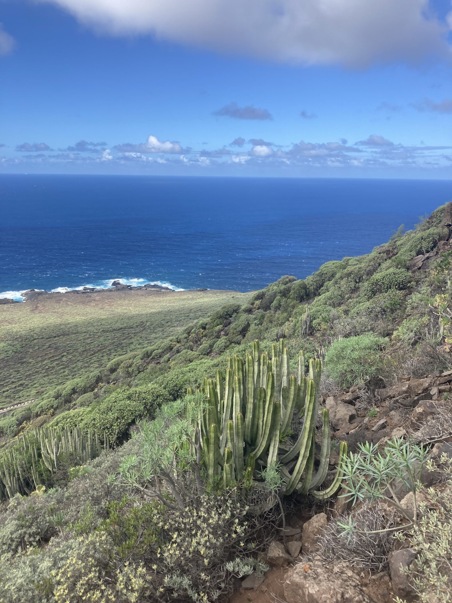
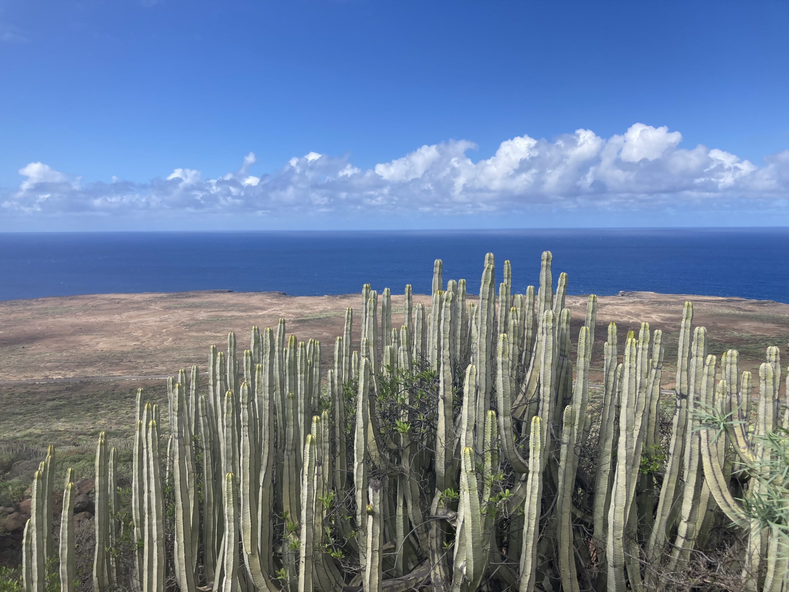
This hike is truly surprising. You begin in Teno with its humid climate and lush vegetation, and gradually descend all the way to the dry, cactus-covered western tip of Tenerife, where red rocks dominate the landscape.
Duration: 5 hours
Loop: Yes
Difficulty: 3/5
Distance: 13 km
Step 1: Starting from Teno
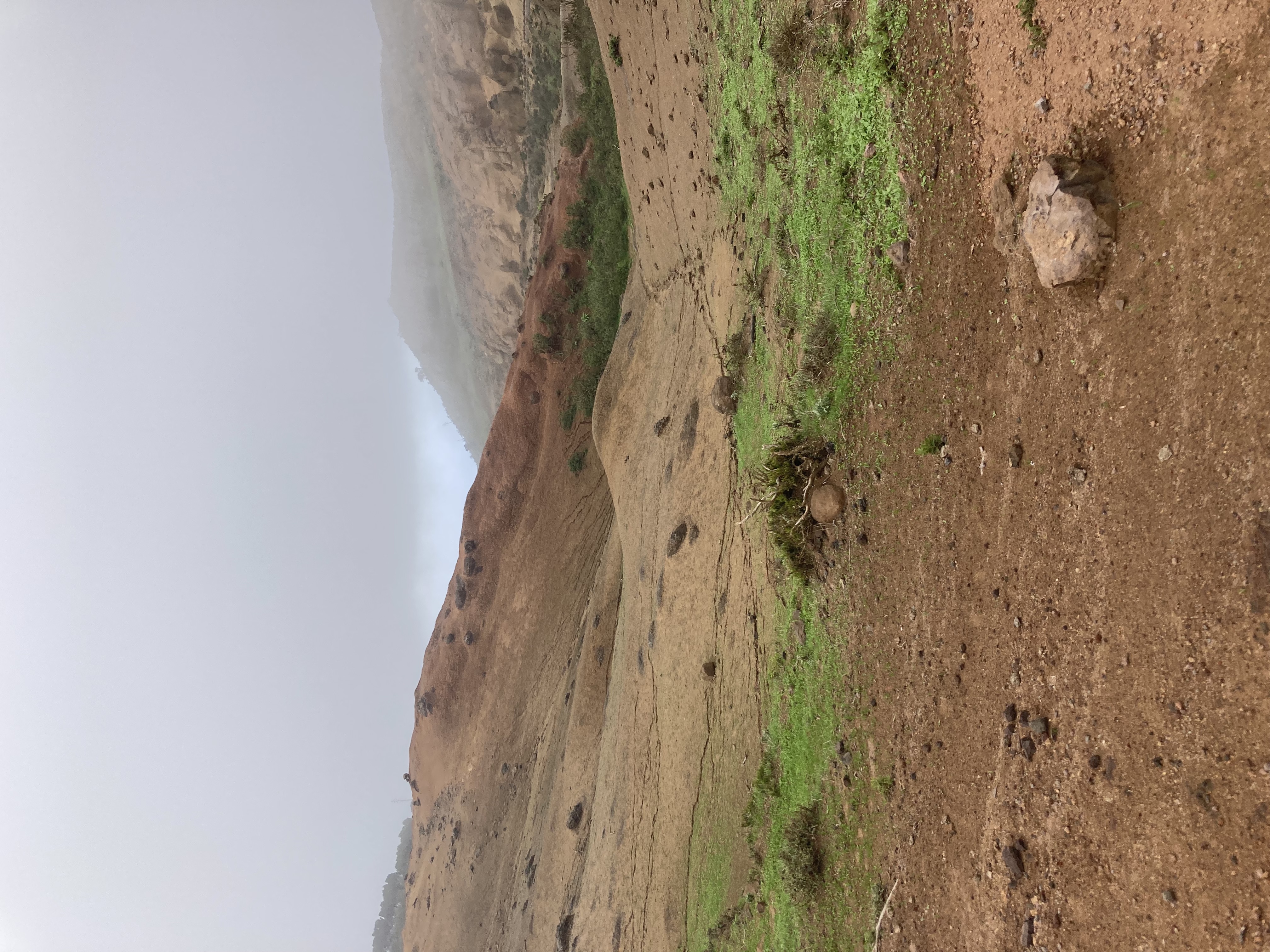
You can usually find parking fairly easily in Teno (also called Teno Alto). We parked along Camino Los Bailaderos.
Step 2: Descent to Punta de Teno
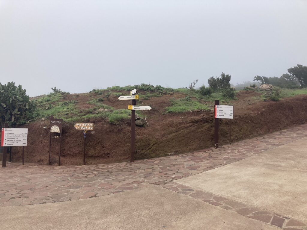
At the main junction in Teno, you’ll find multiple trail signs — take the one pointing toward Punta de Teno.
You’ll walk along the road for about 10–15 minutes until you find the trailhead on your right.
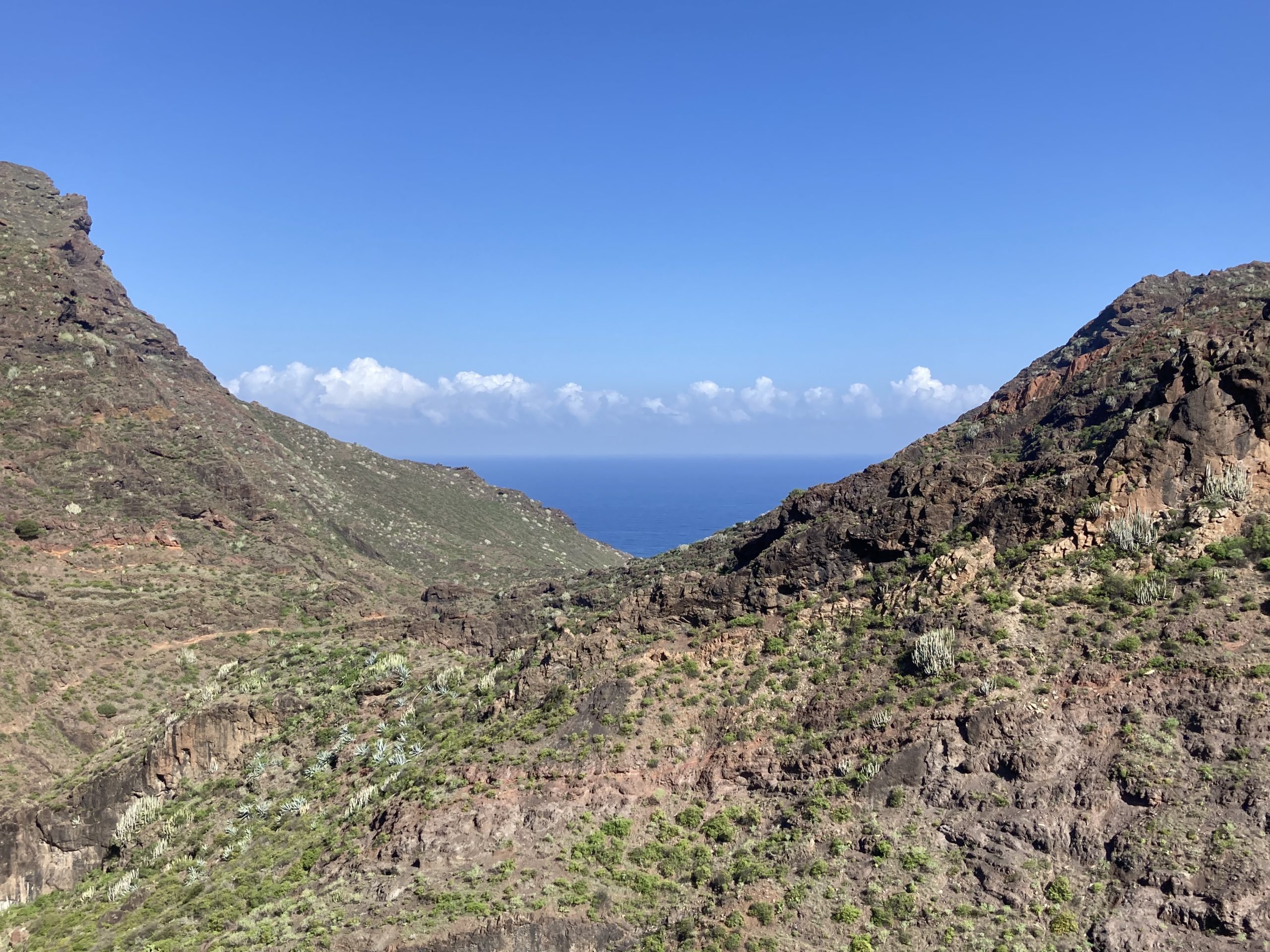
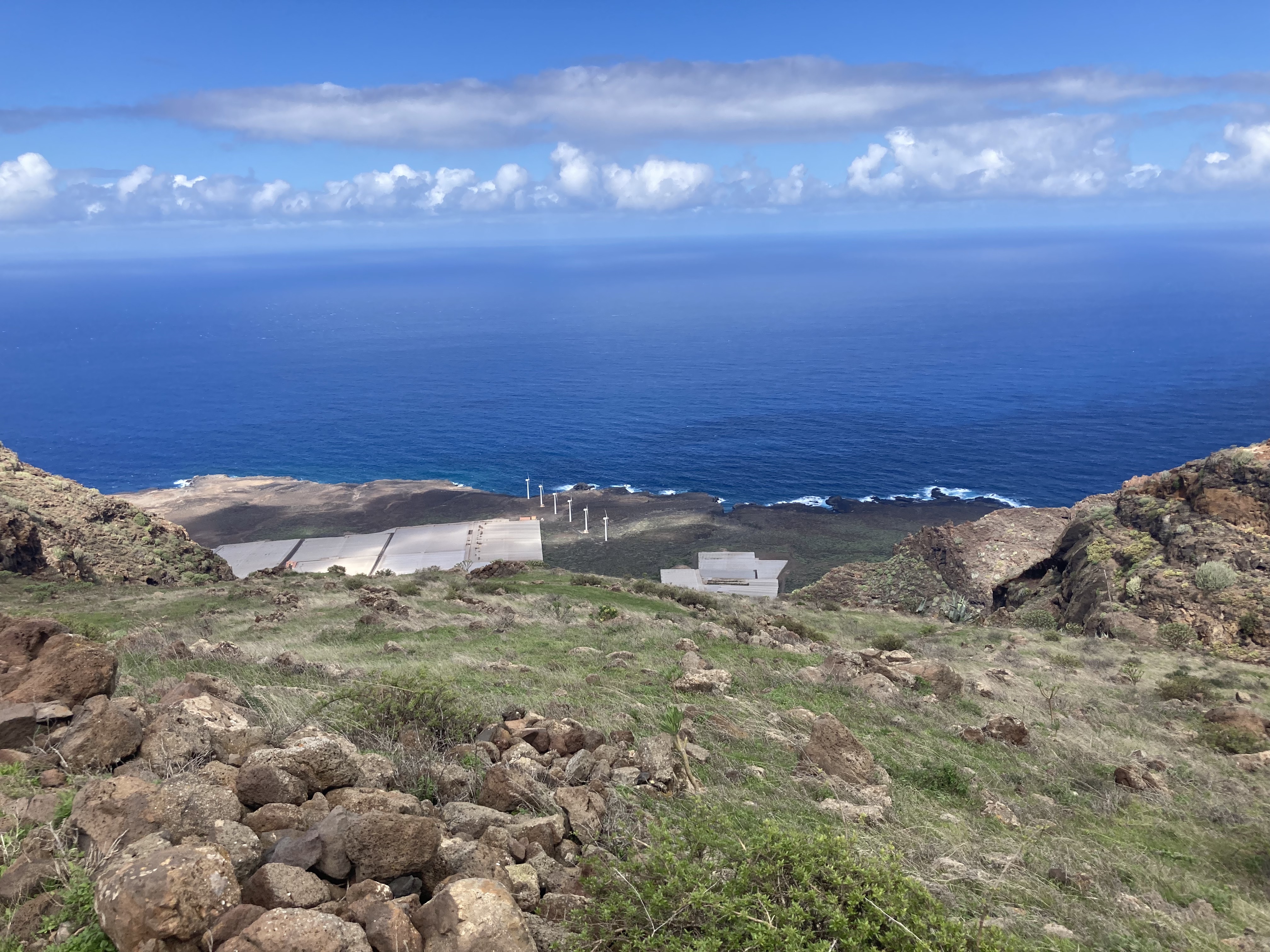
The descent continues for a while. You’ll pass through a small village and then follow a small canyon on your left. Eventually, you’ll spot wind turbines much further down at sea level on your right.
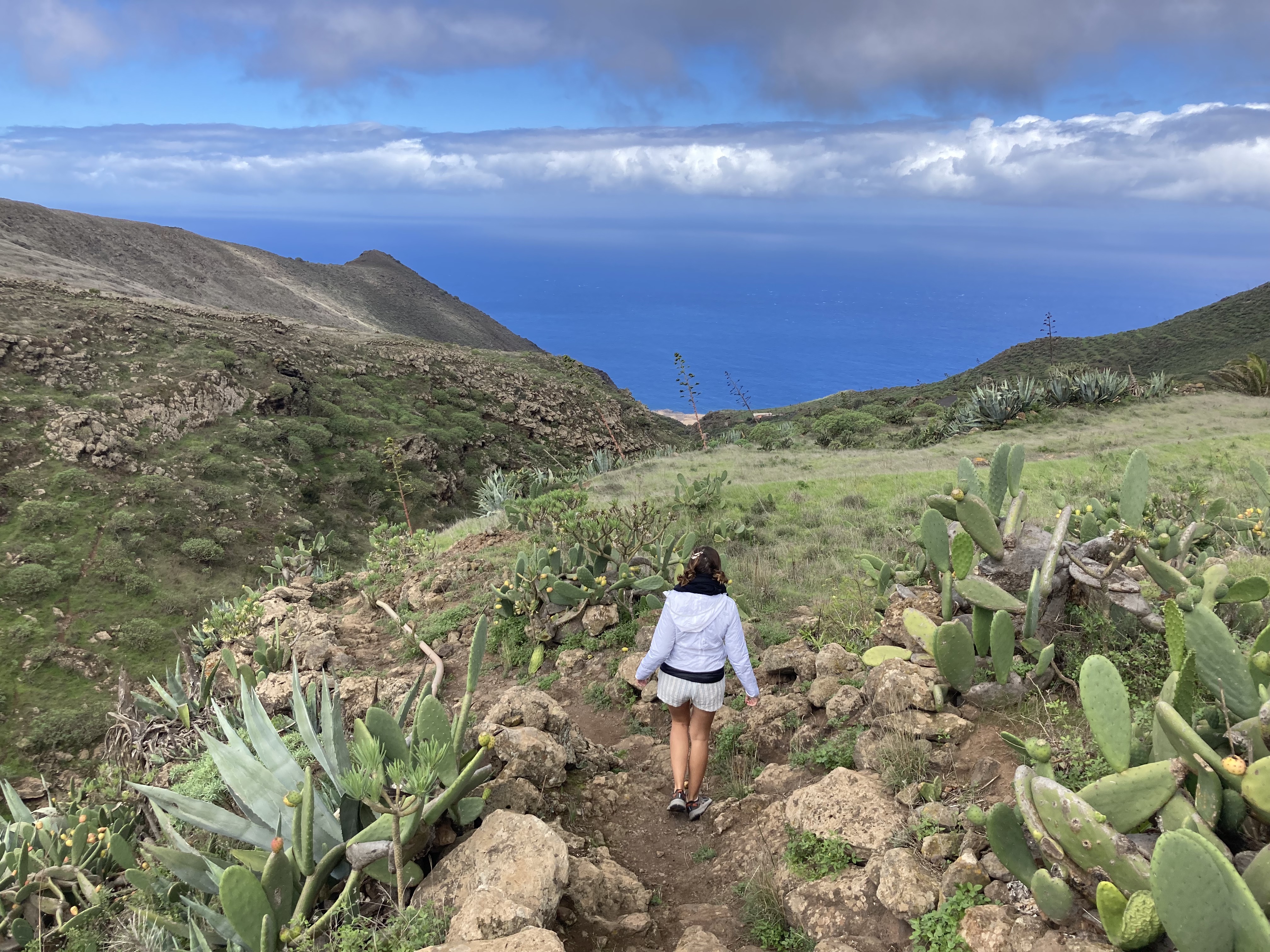
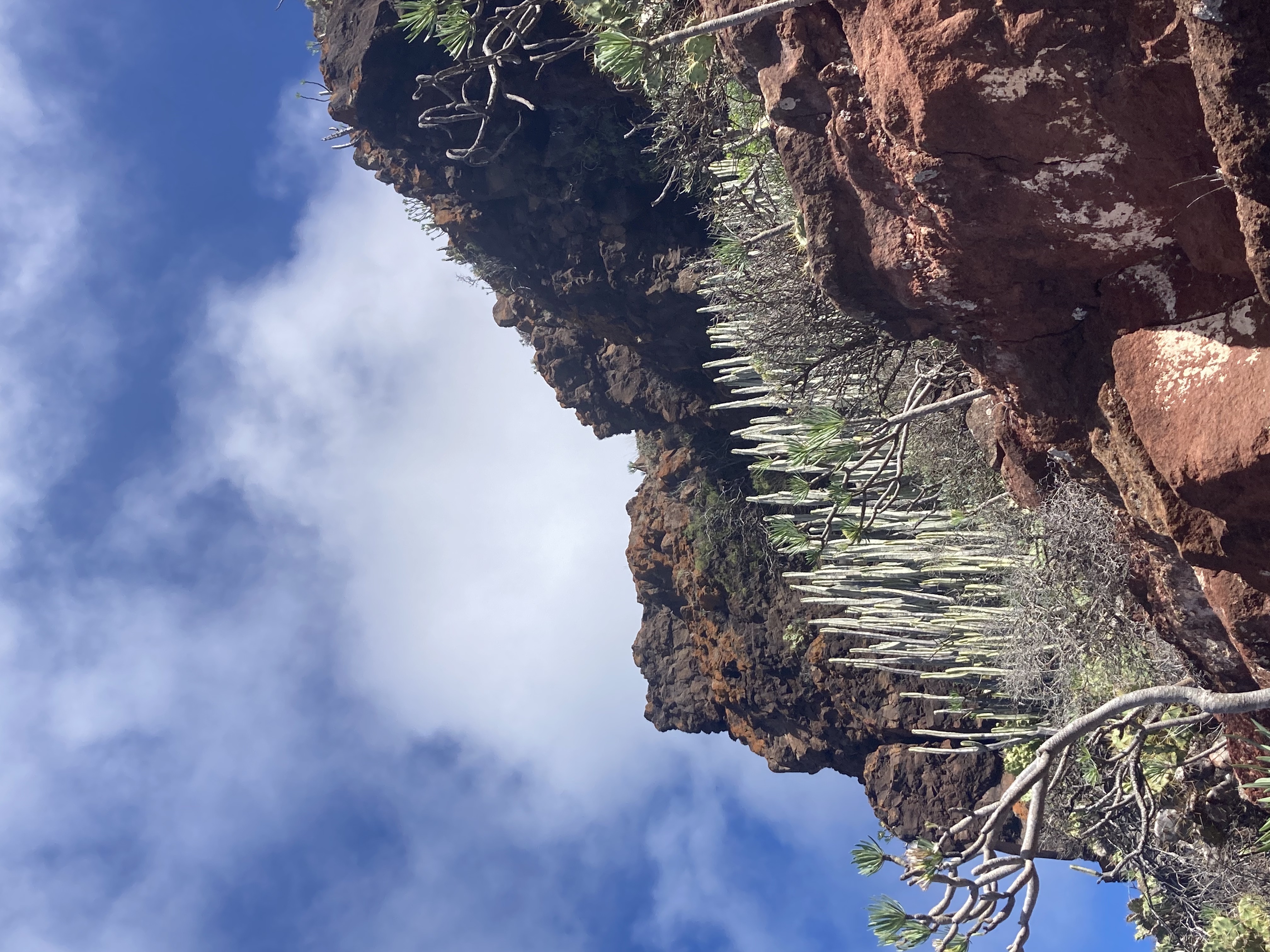
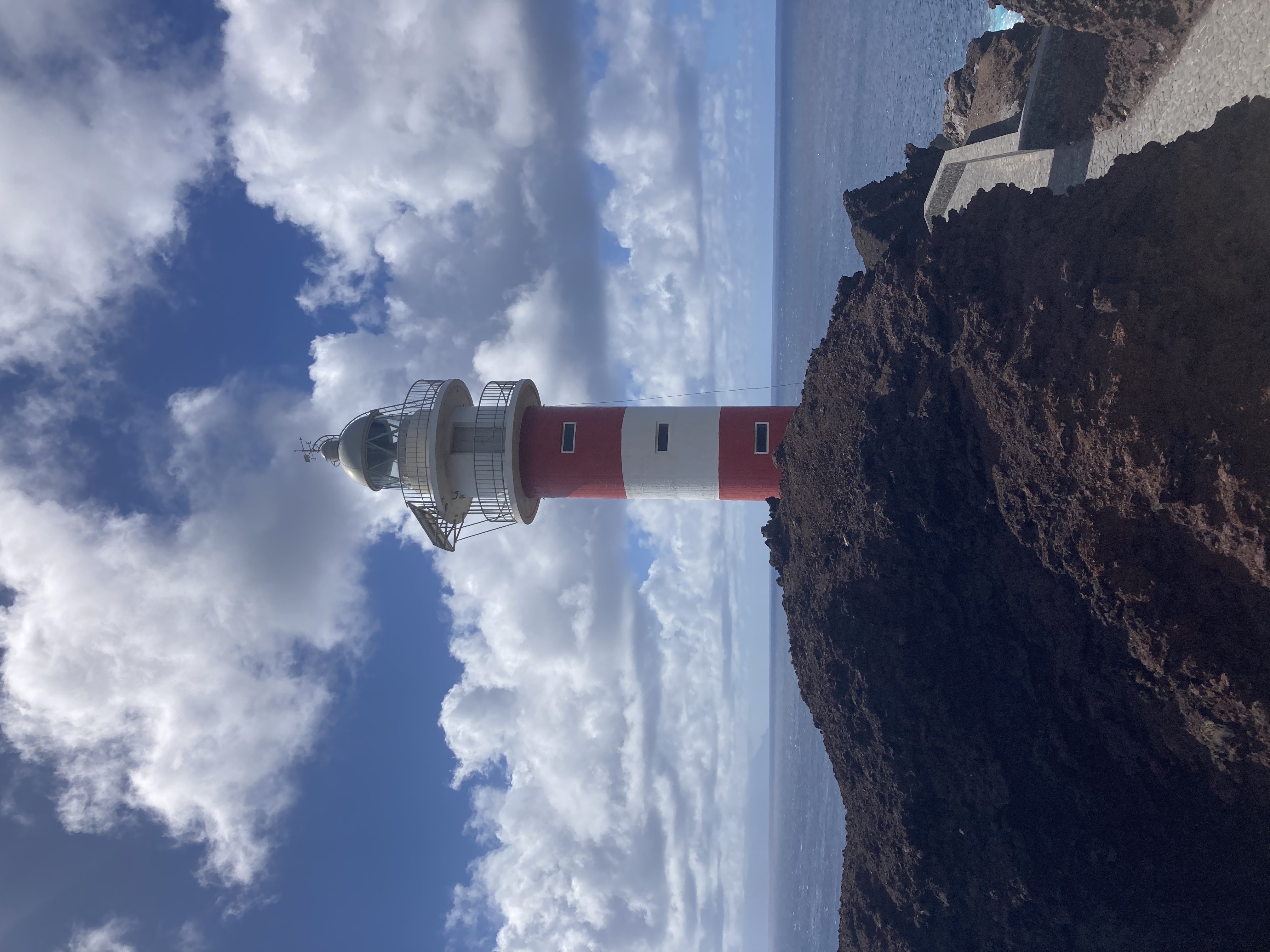
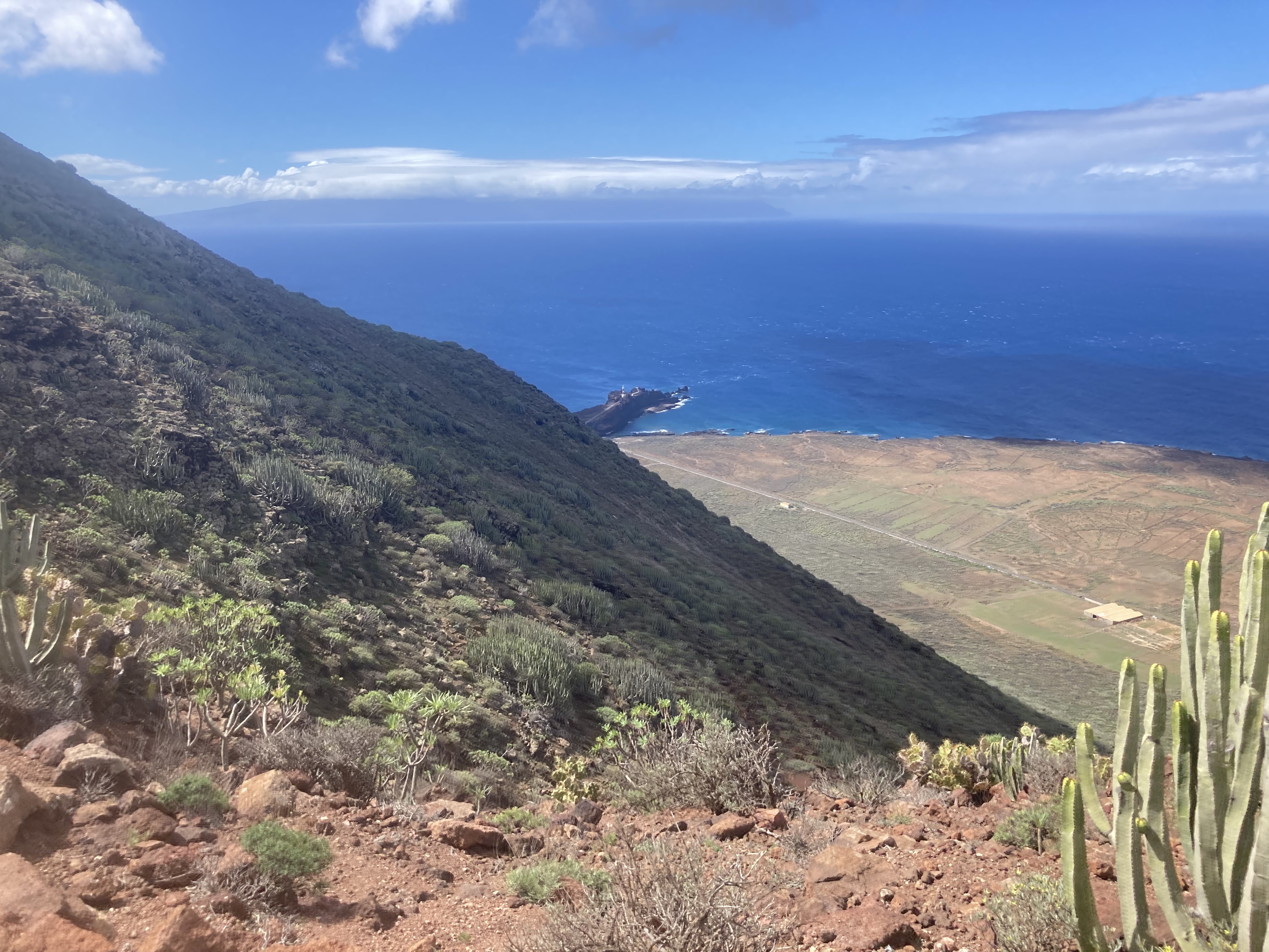
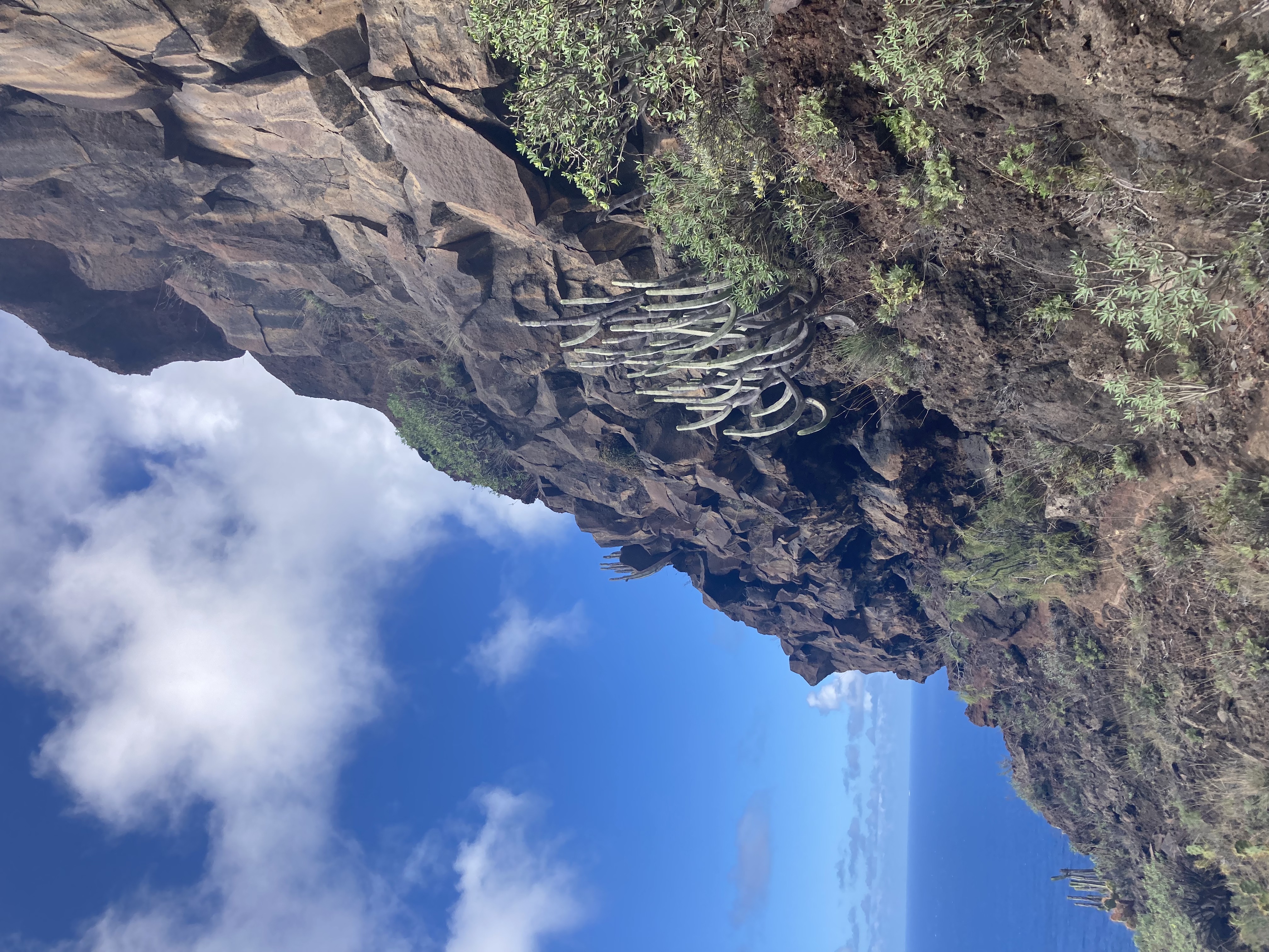
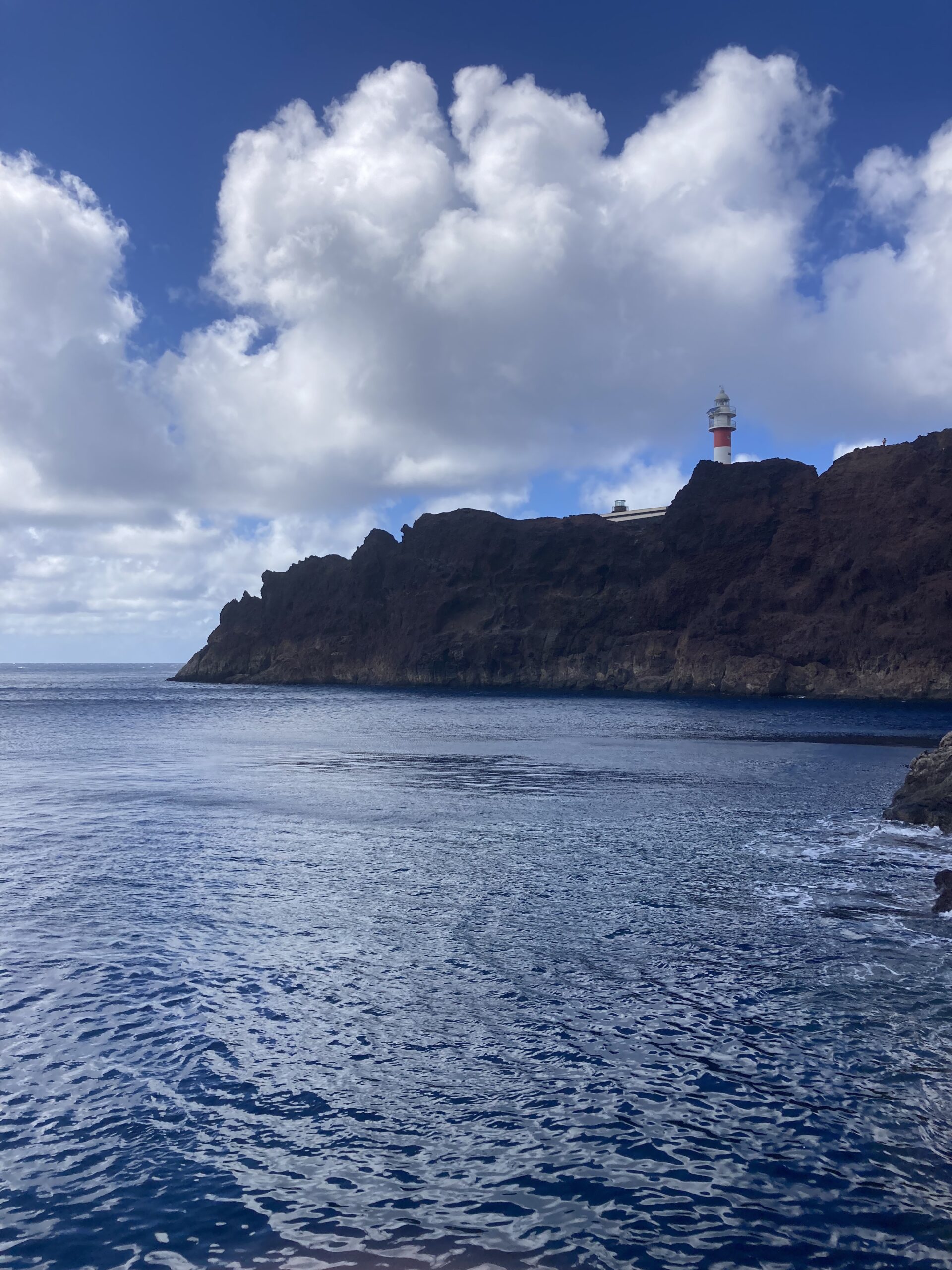
Step 3: Entering the Wild West — Lighthouse in Sight
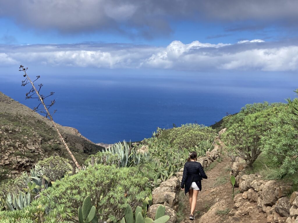
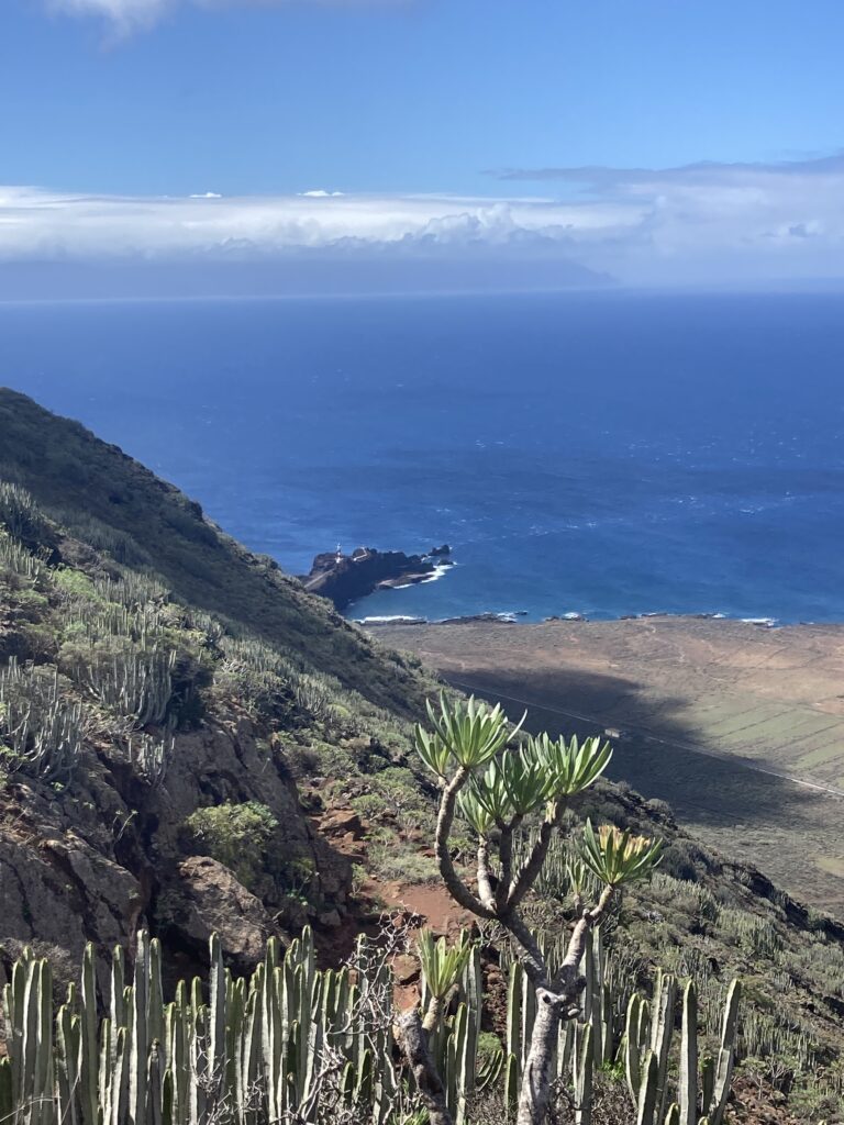
At a wide curve in the trail, you’ll get your first open view of the Teno Lighthouse and Punta de Teno.
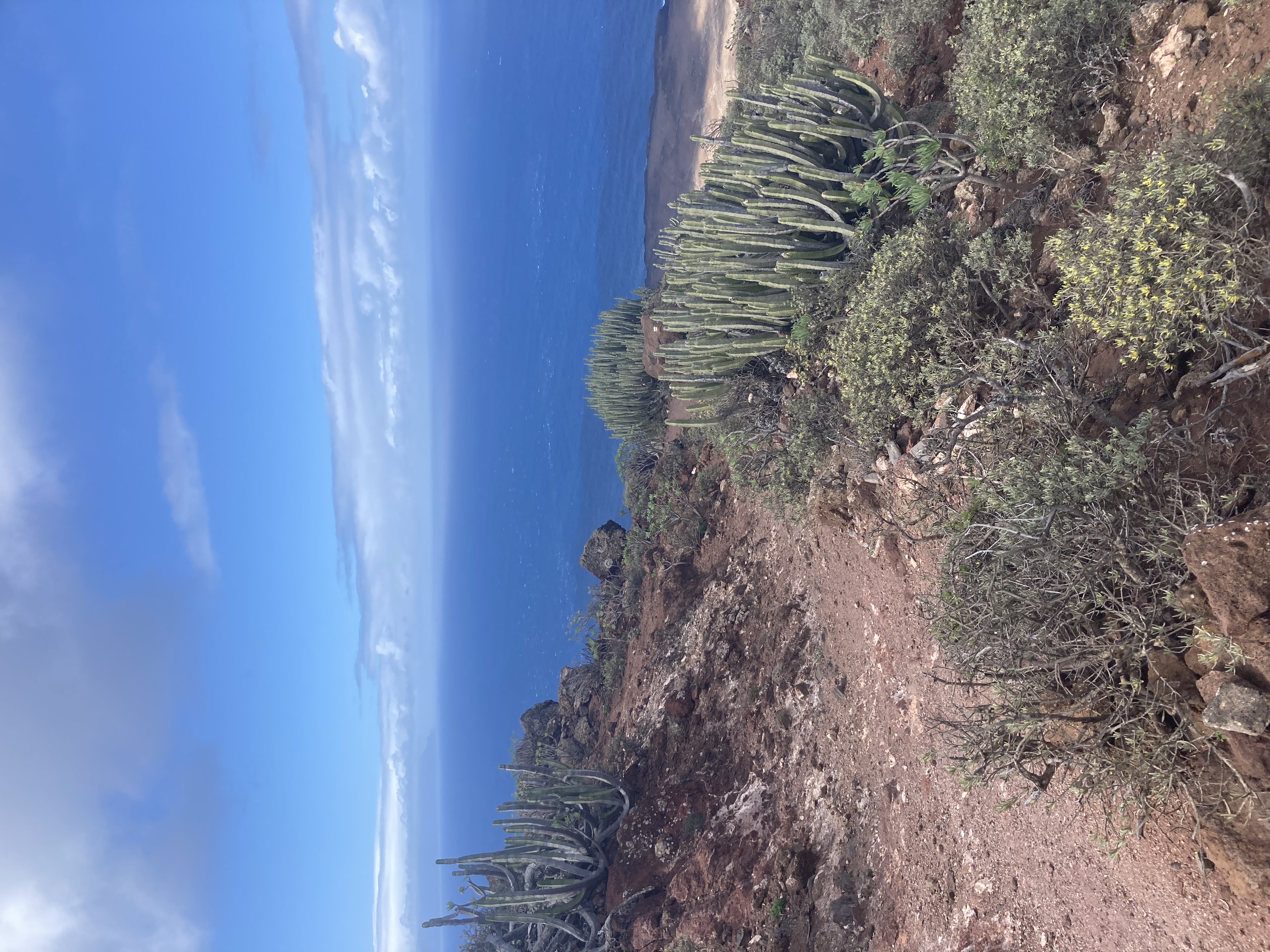
The landscape suddenly transforms into a Wild West scene — cacti and ochre rocks everywhere. It feels like hiking through the Grand Canyon.
On Maps.me you’ll see many paths and shortcuts. We took a few, but we don’t recommend it — the terrain is full of cacti and can get tricky.
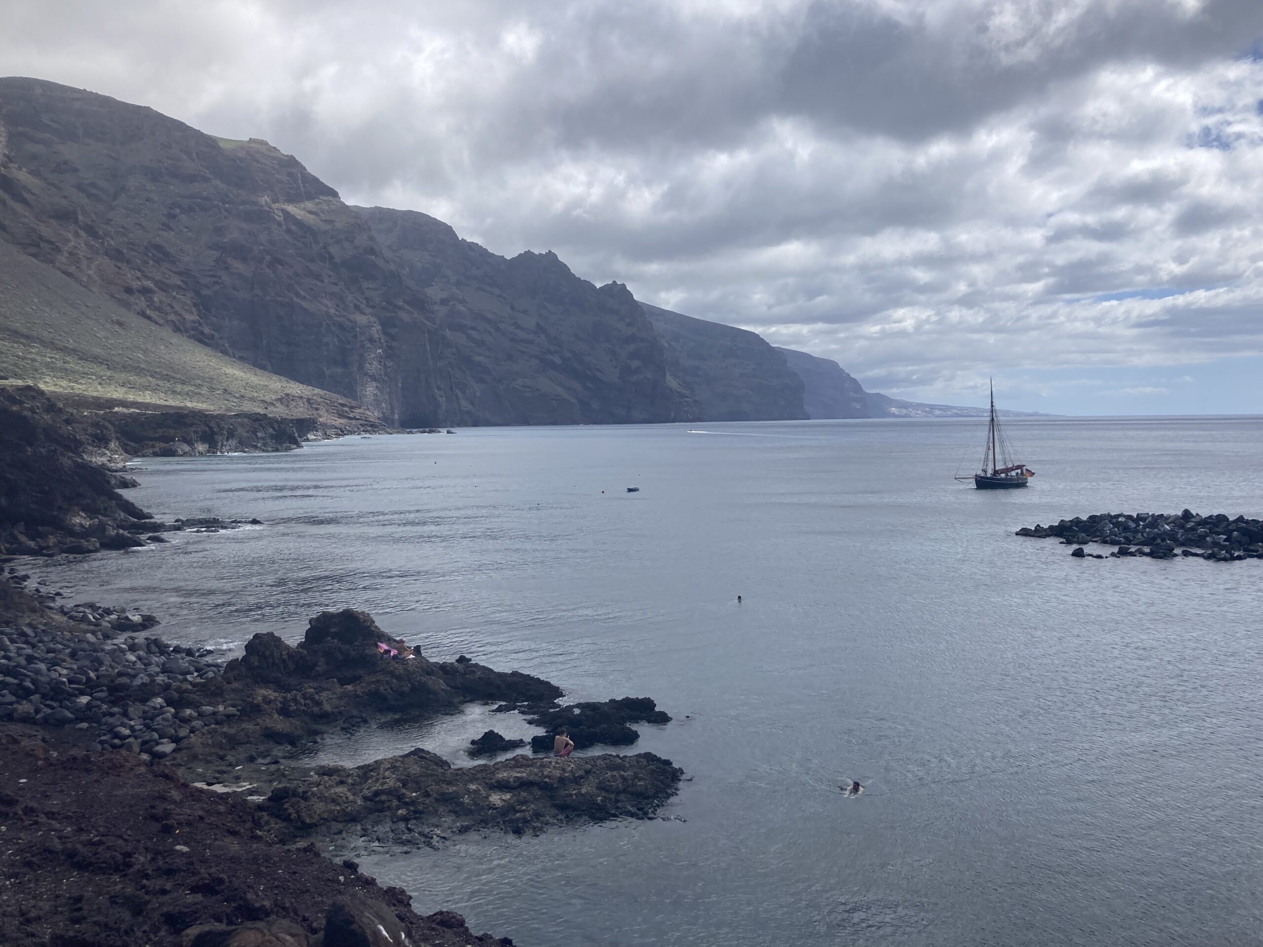
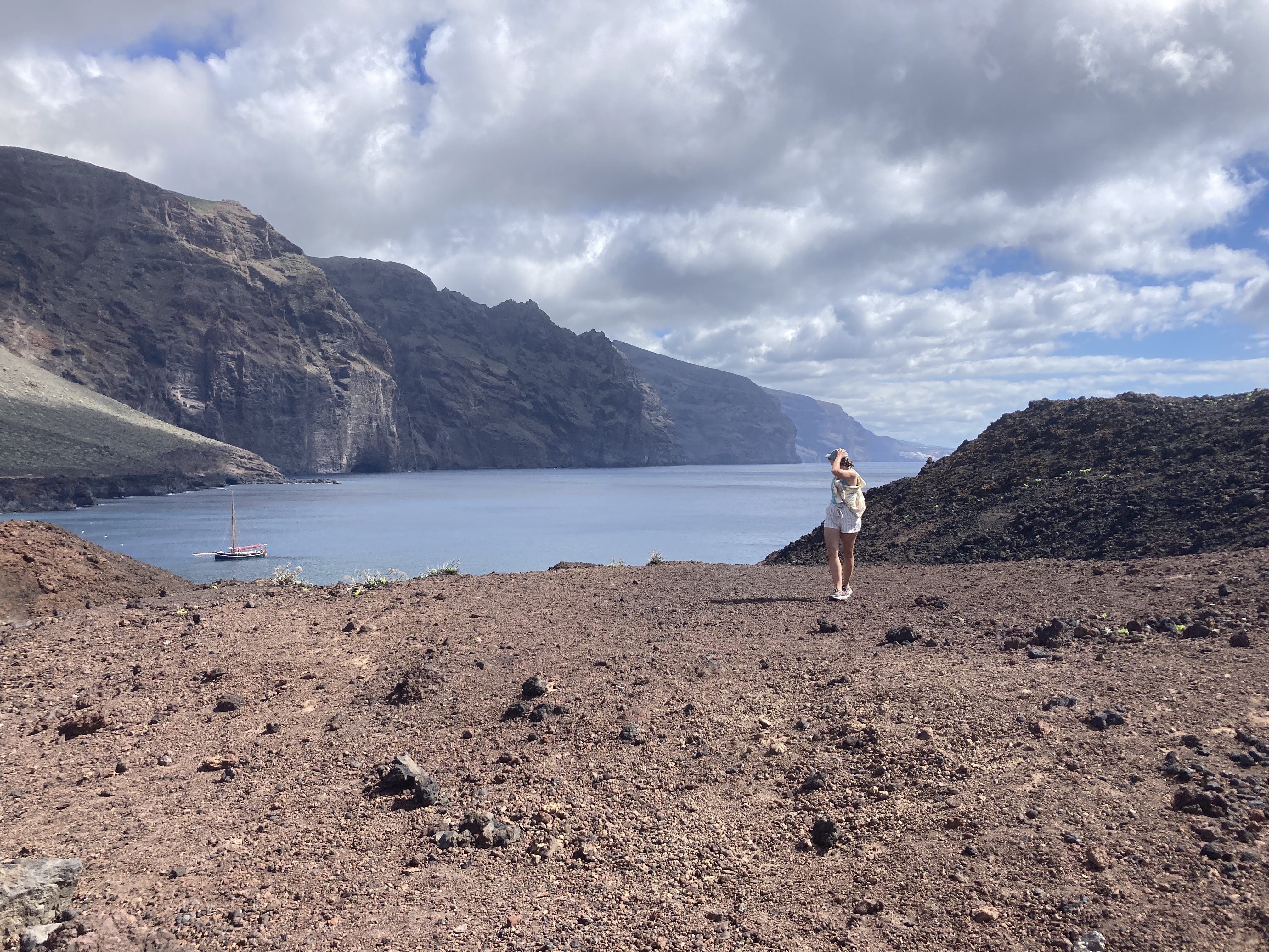
Step 4: Arrival at Punta de Teno
After a stretch on the road, you’ll reach Punta de Teno.
You can go for a swim here — don’t forget your snorkel gear!
The area can be explored quickly. Unfortunately, we couldn’t get very close to the lighthouse due to a closed gate.
Step 5: The Way Back
Time to head back!
You have two options:
- Take the bus – Runs every ~30 minutes depending on the season.
- Hike back – Complete the loop on foot.
We split into two teams: I hiked back to retrieve the car, while my partner took the bus toward Garachico, and we met up there.
For the hike back, continue along the road beyond the original endpoint. Near a house/church, the trail begins.
Important: The path is poorly marked. Make sure to follow Maps.me closely and identify the trail properly. I lost 20 minutes at the start because I was just 10 meters below the correct trail!
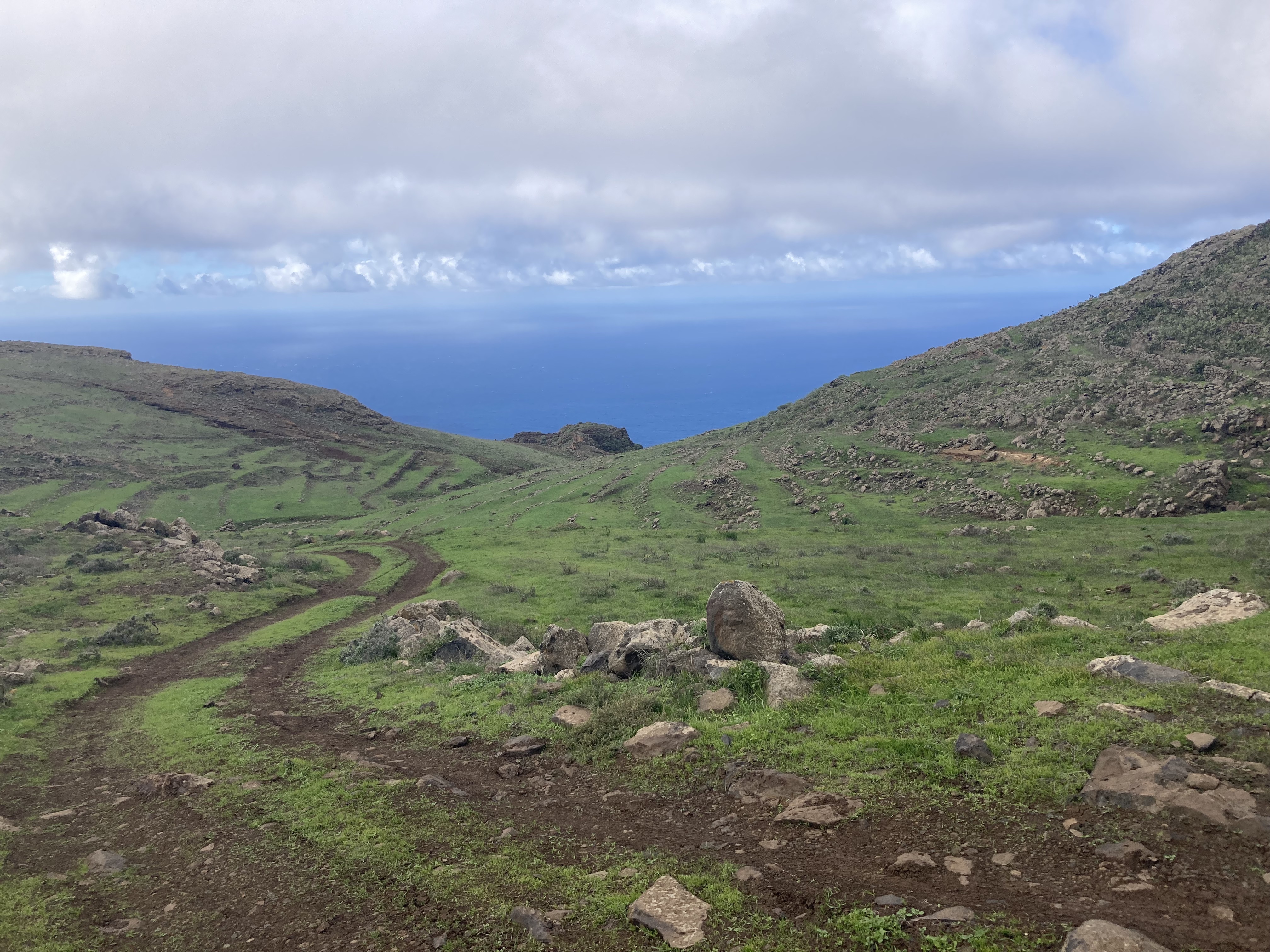
From there, it’s a long but beautiful climb with stunning views.
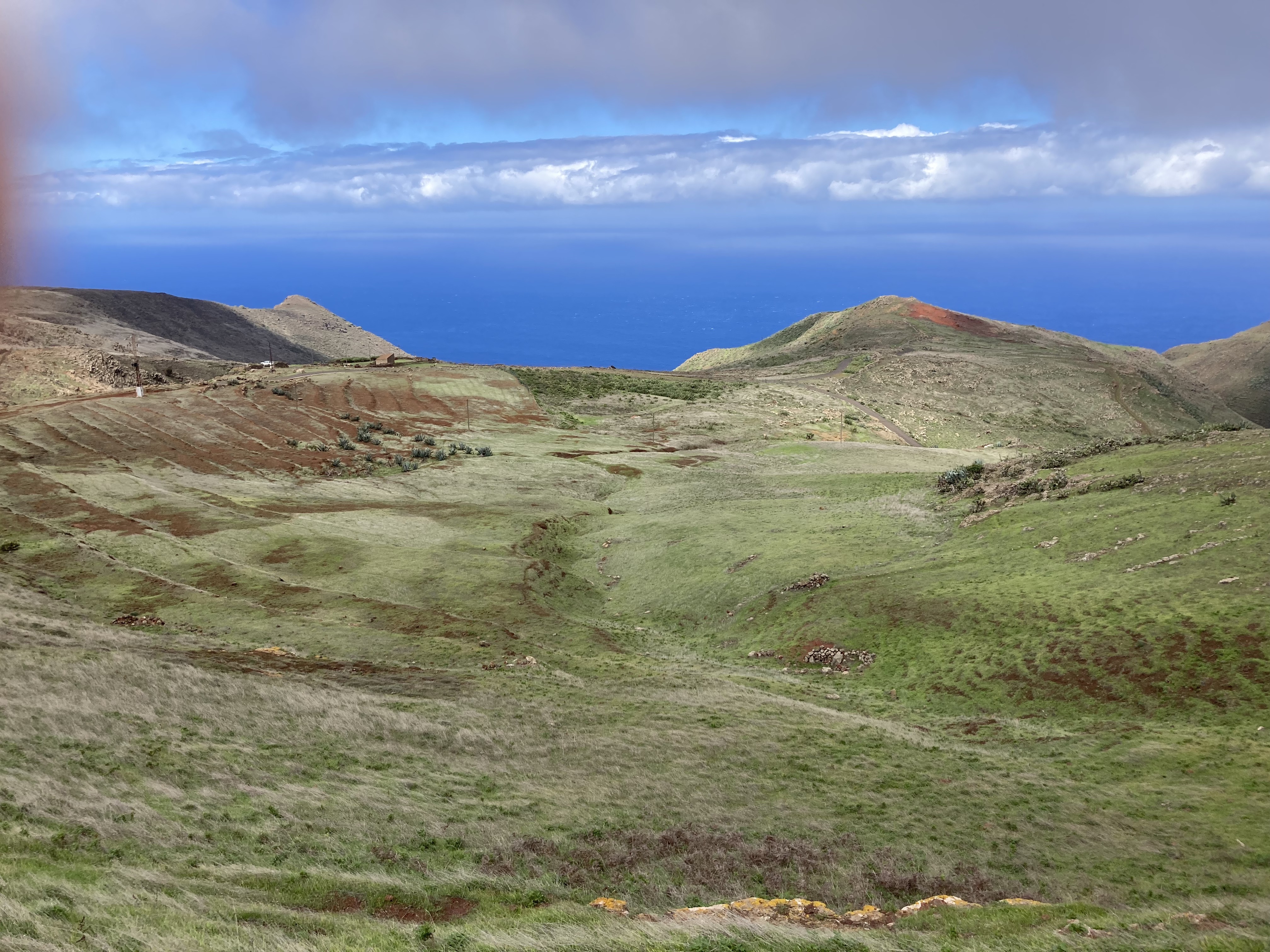
You’ll pass by an old waterfall and terraced hillsides, which can make the trail hard to follow — but don’t worry, you’ll always find a way to reconnect with the main path.

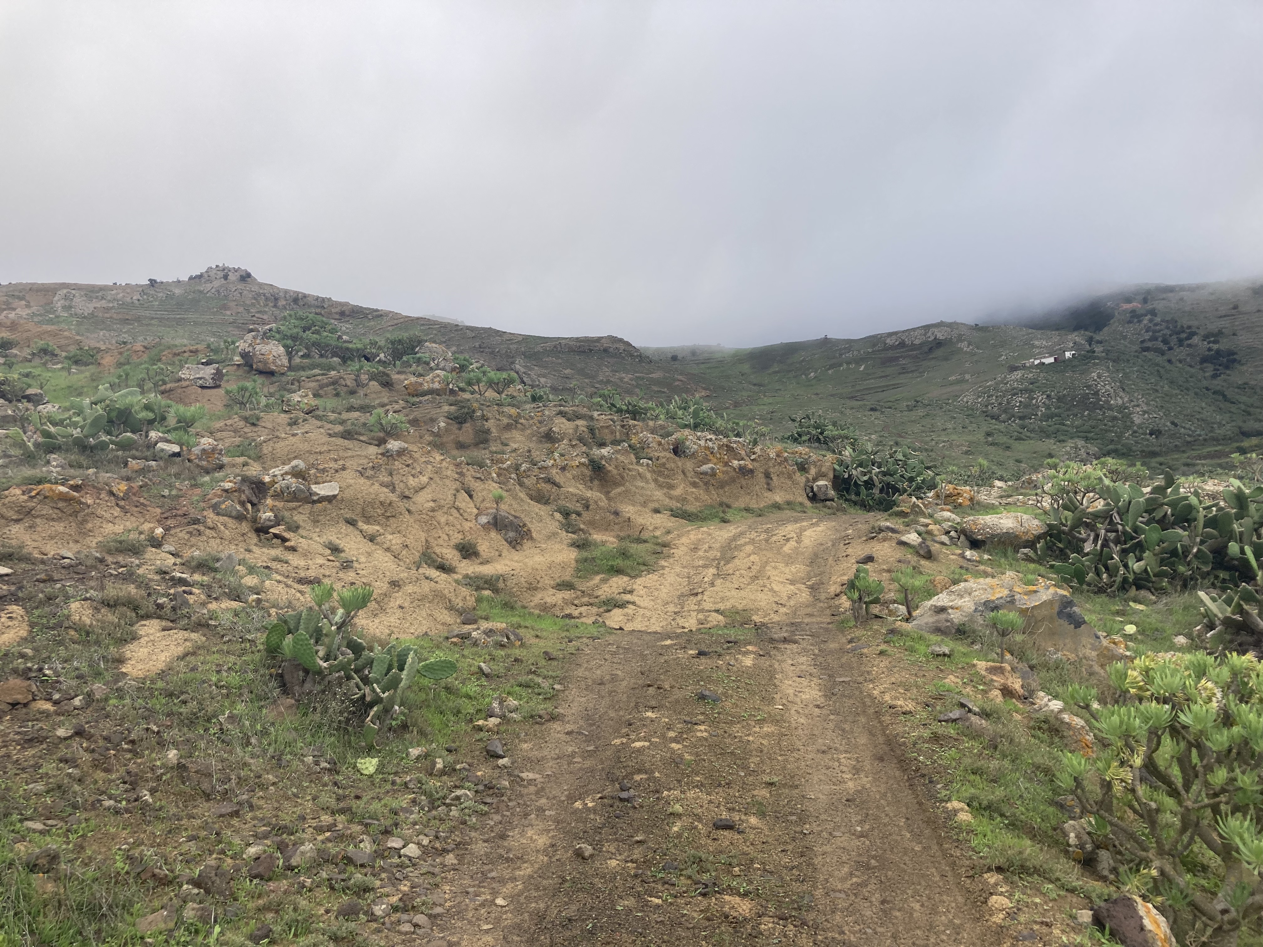
To finish, follow the trail back to the road. You’ll walk through a lunar-like landscape (Paisaje Lunar En Teno Alto).
Finally, you arrive back at Teno Alto — loop completed!
Check out our other articles for tips on the best restaurants and beaches in Tenerife.
Feel free to leave a comment or join us on Instagram @jeanmichelvoyage