Oh wow, this hike was epic!
We didn’t follow the official trail (we took the red trail visible on Maps.me). We climbed a mountain, thought we were going to die, then saw the end in sight—until we heard gunshots and barking dogs getting closer. We finally ended up in a farmer’s field where he gave us a moral lecture and threatened to release his dogs and call the police for 20 minutes while repeating “Porque tu tiene mucha carra” over and over again.
We didn’t understand a word, and he told us to take another path—when we were literally two minutes from our car.
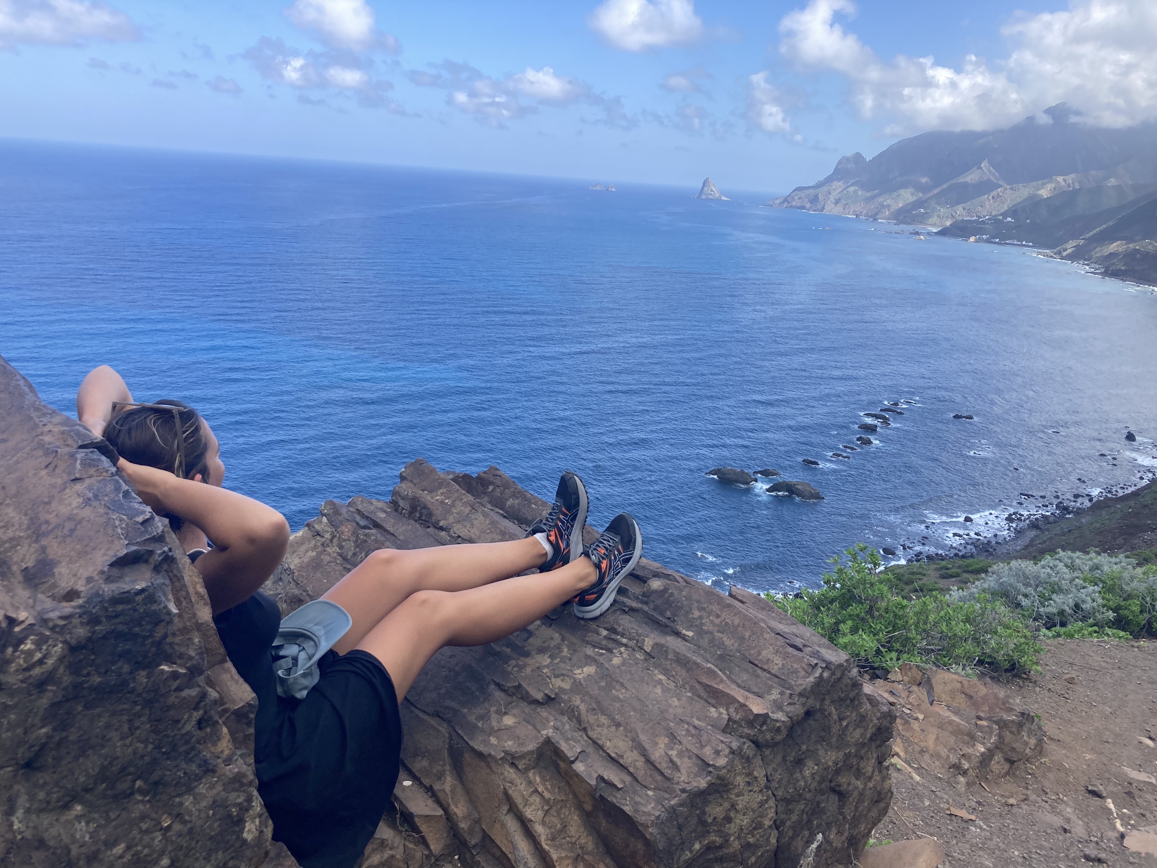
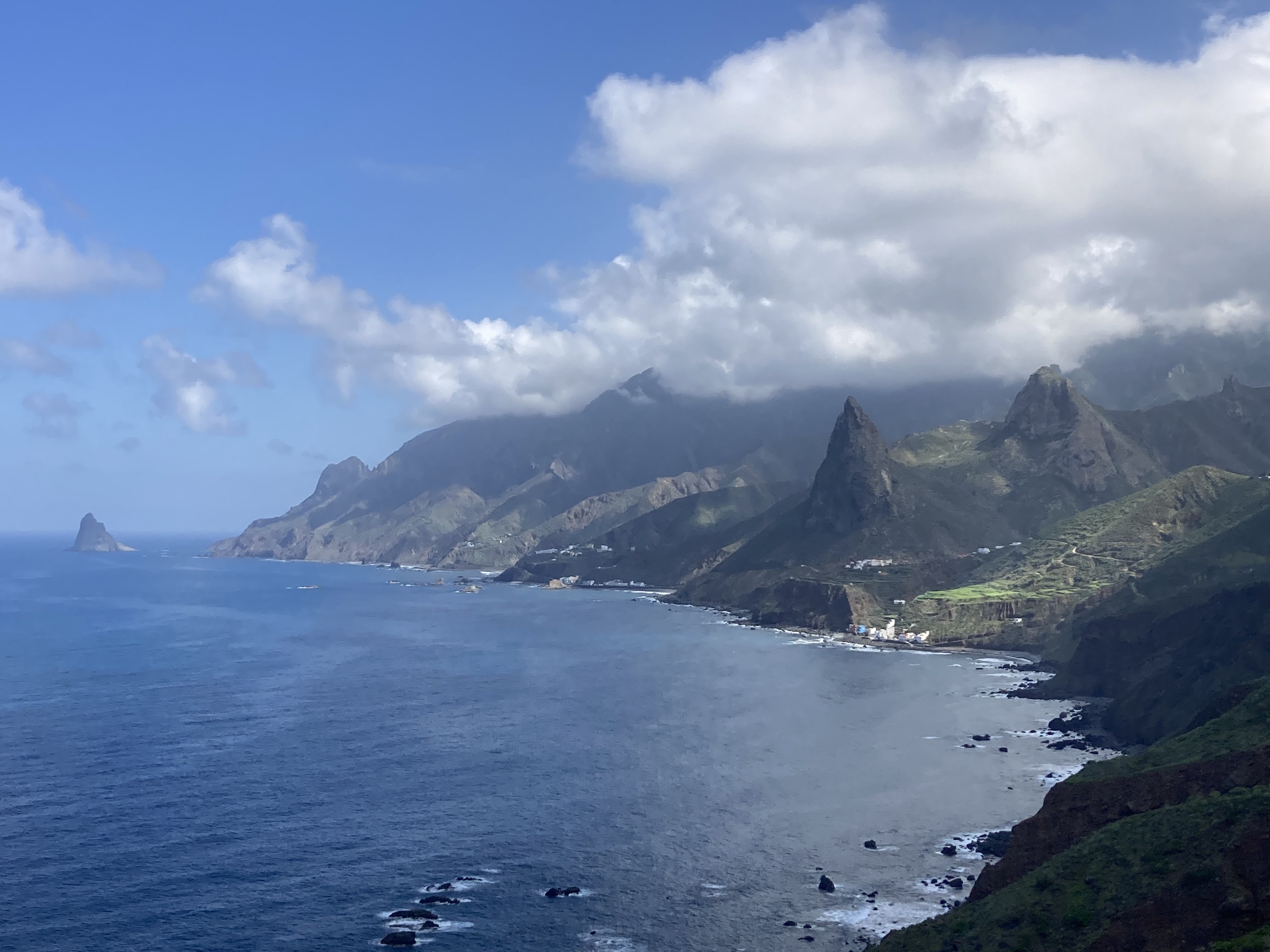
That said, the hike is incredible! A gorgeous beach, views of Roque de las Animas, a tense climb, and a descent where you feel completely alone in the world.
Still, we strongly recommend taking the official trail unless you’re really adventurous. The shortcut we took was actually quite dangerous!
Duration: 6 hours
Loop: Yes
Difficulty: 4/5
Distance: 15 km
Step 1: Park in Afur
You can park fairly easily in Afur since there’s a parking lot with around twenty spaces at the trailhead. However, in high season, it’s best to leave early to guarantee a spot.
Step 2: The Descent to Playa del Tamadite
The descent is very easy-going. You head down into the valley—it’s a lovely walk.
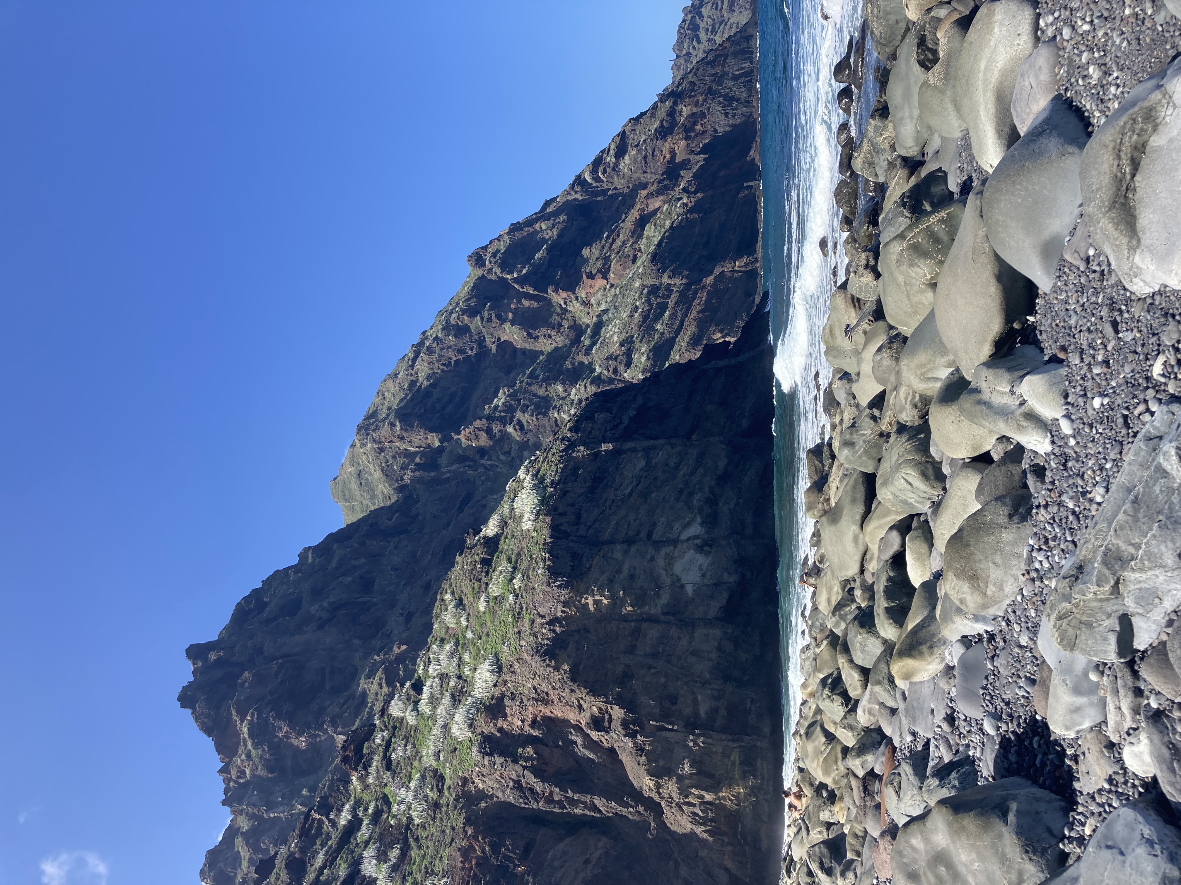
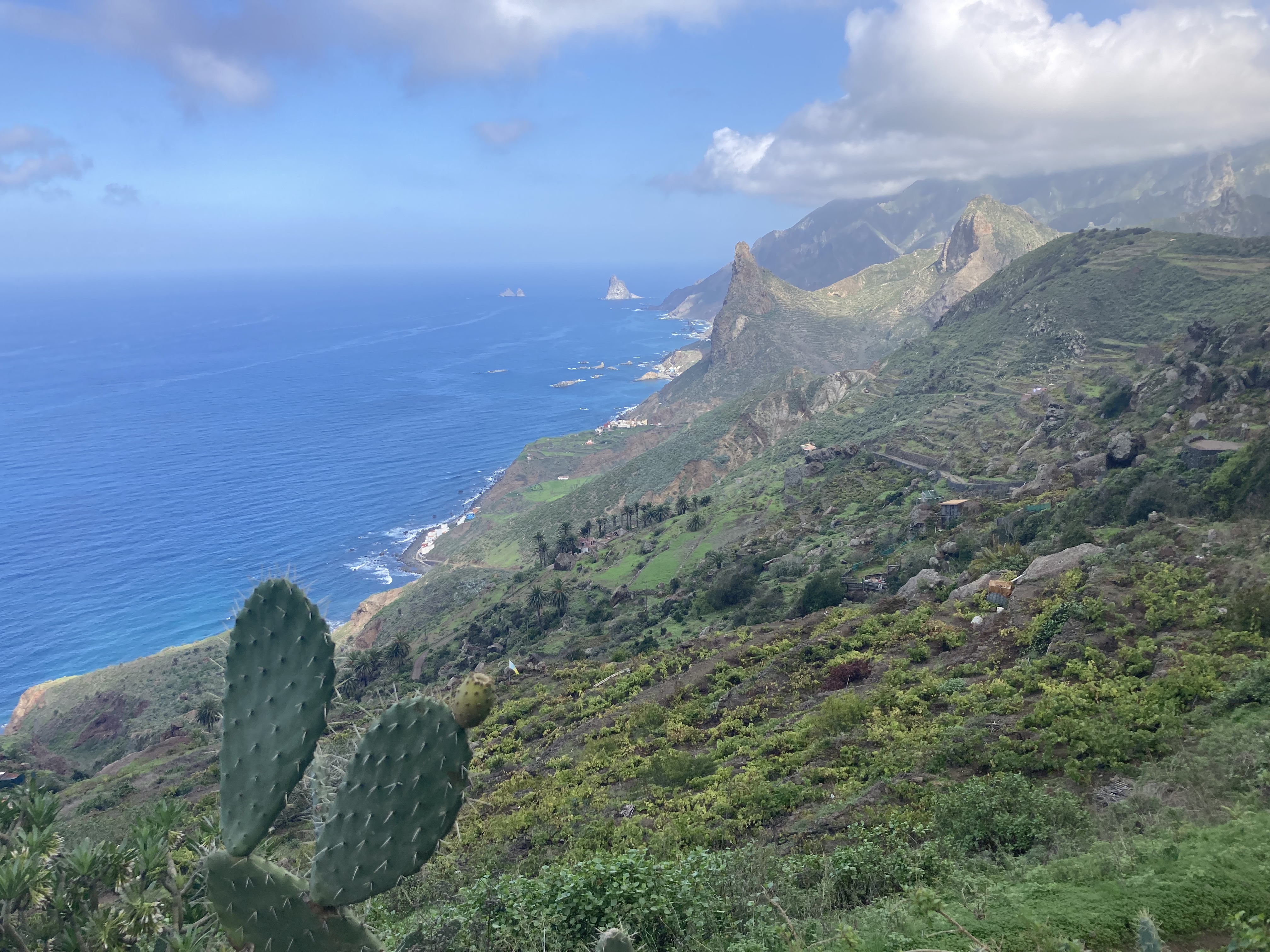
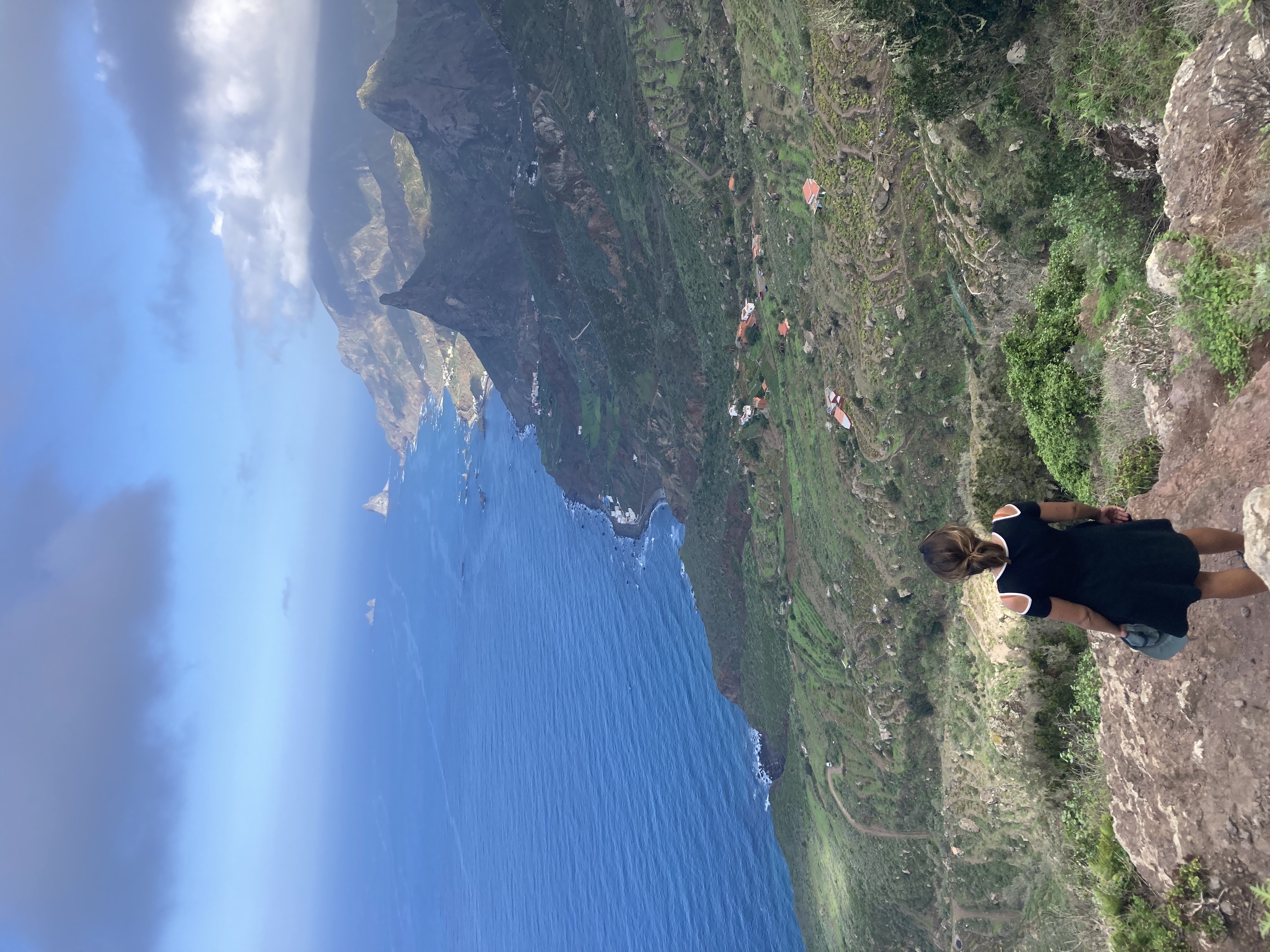
Soon you’ll reach Playa del Tamadite, which is absolutely stunning! Wild, with huge rocks and towering cliffs—definitely worth stopping to enjoy.
However, swimming is very difficult and even dangerous. It’s better to dip your feet in near the edge, as the water is very rough. Don’t push your luck swimming far out!
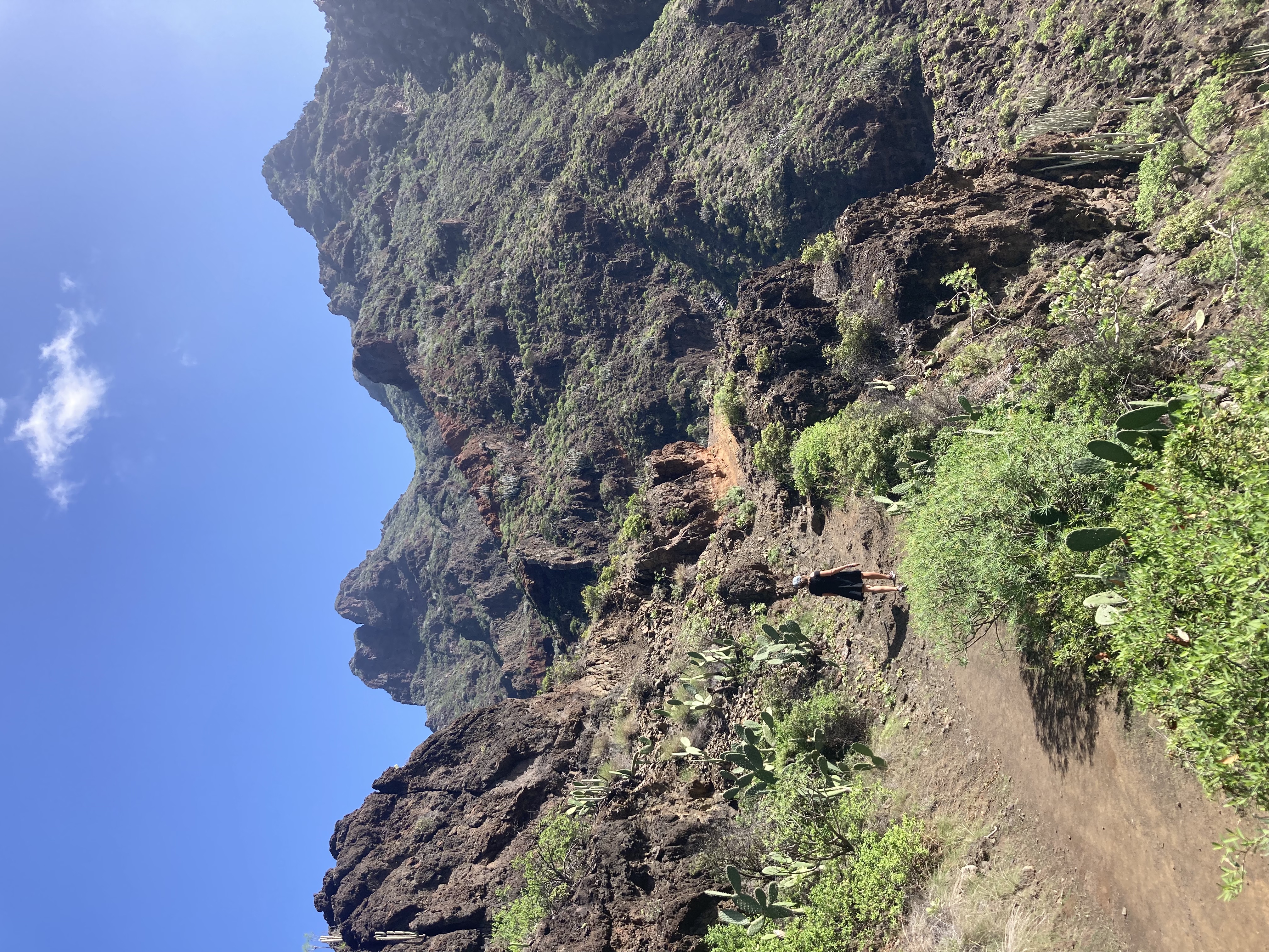
Step 3: Toward Taganana
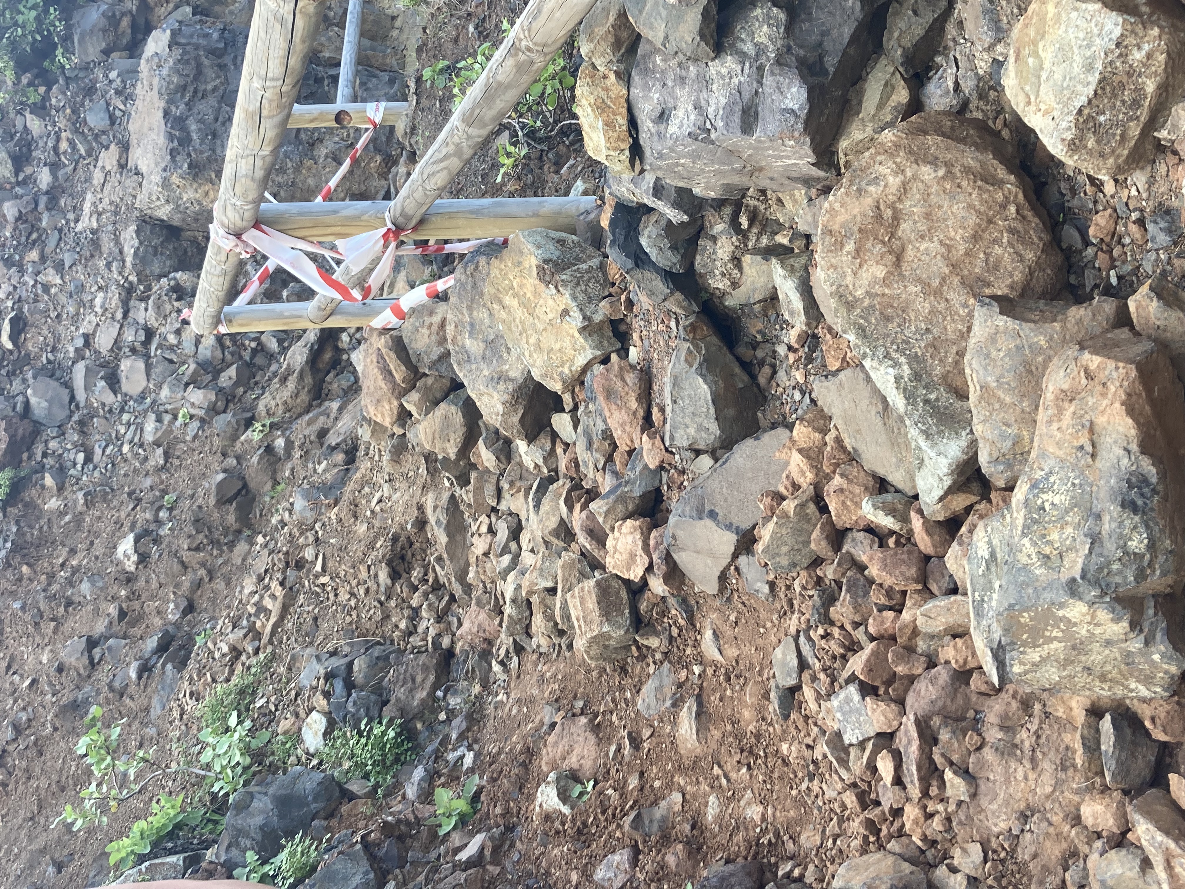
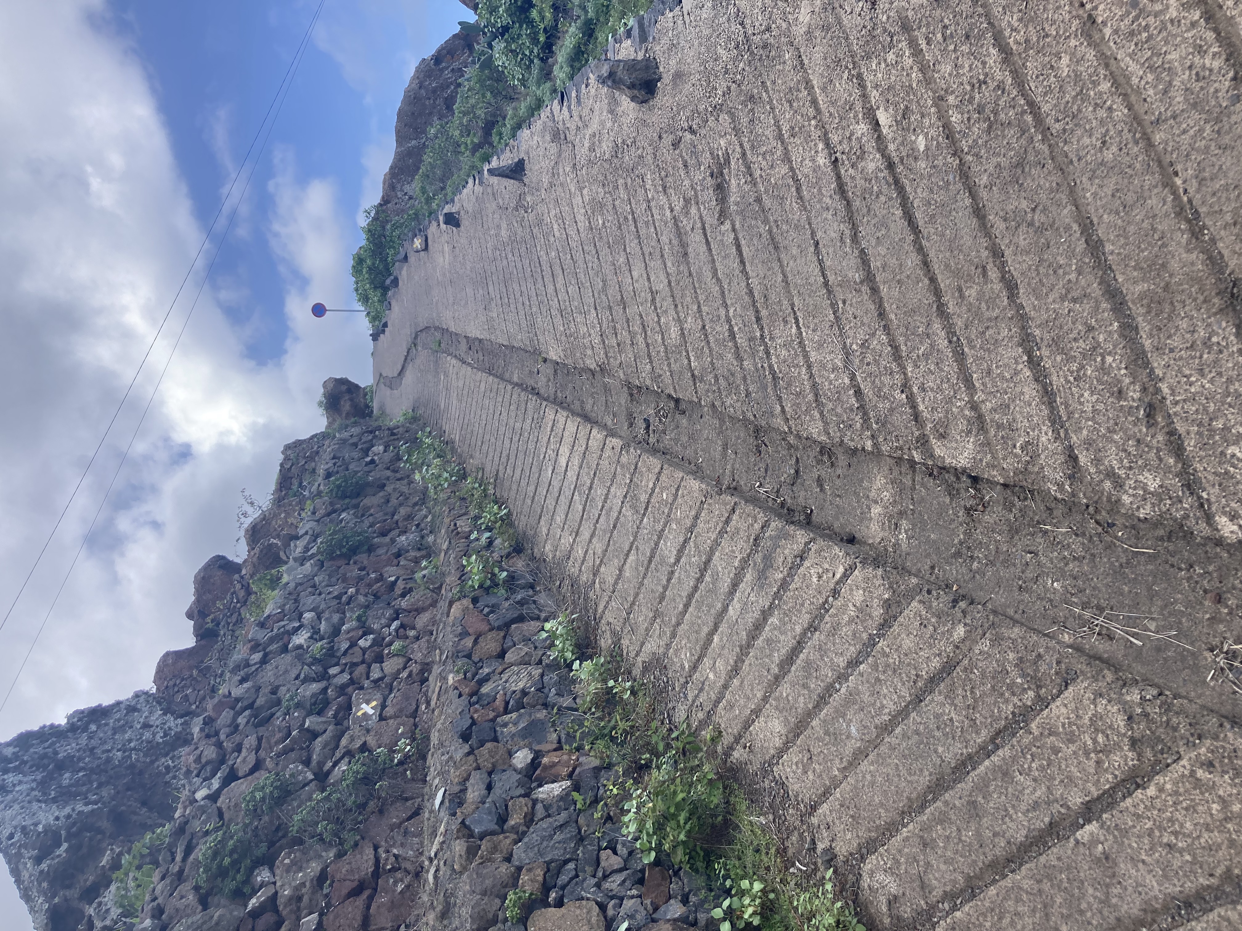
We began the ascent to complete the loop. At the start of the path, there’s a “barrier” advising against going further.
We took the trail anyway, and there’s no real danger. In a few places, rocks have fallen, but there’s nothing risky—you can go for it!
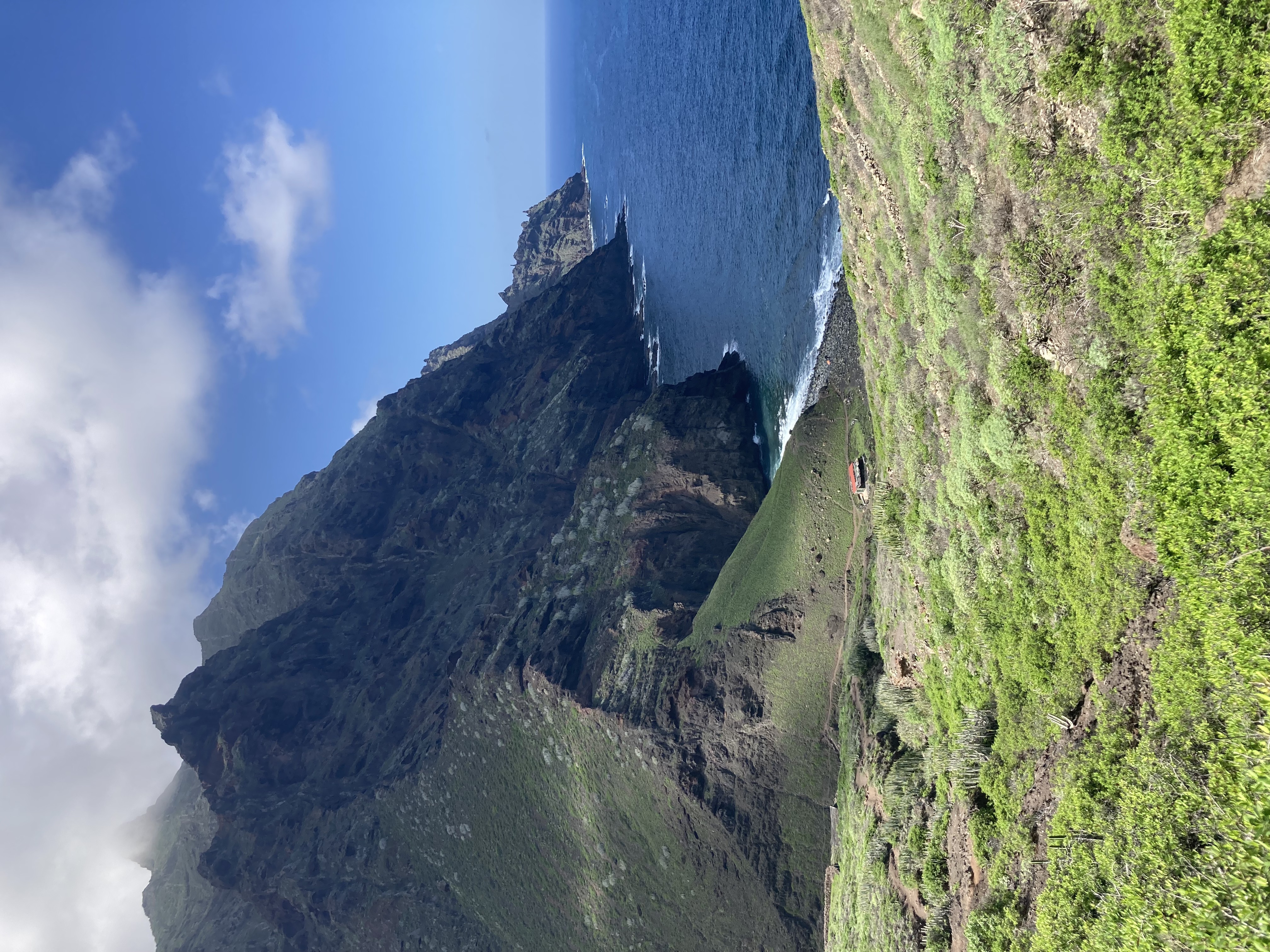
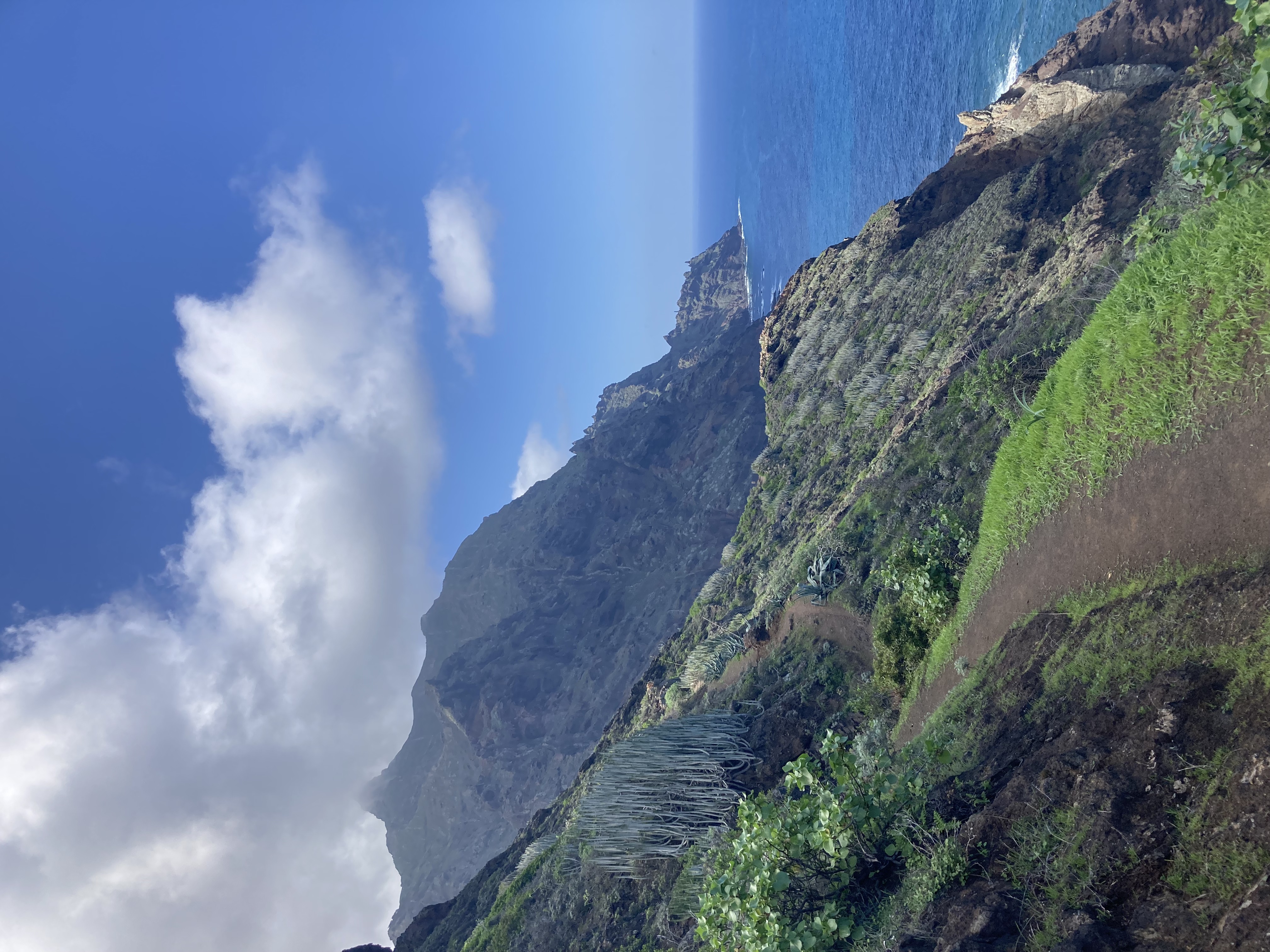
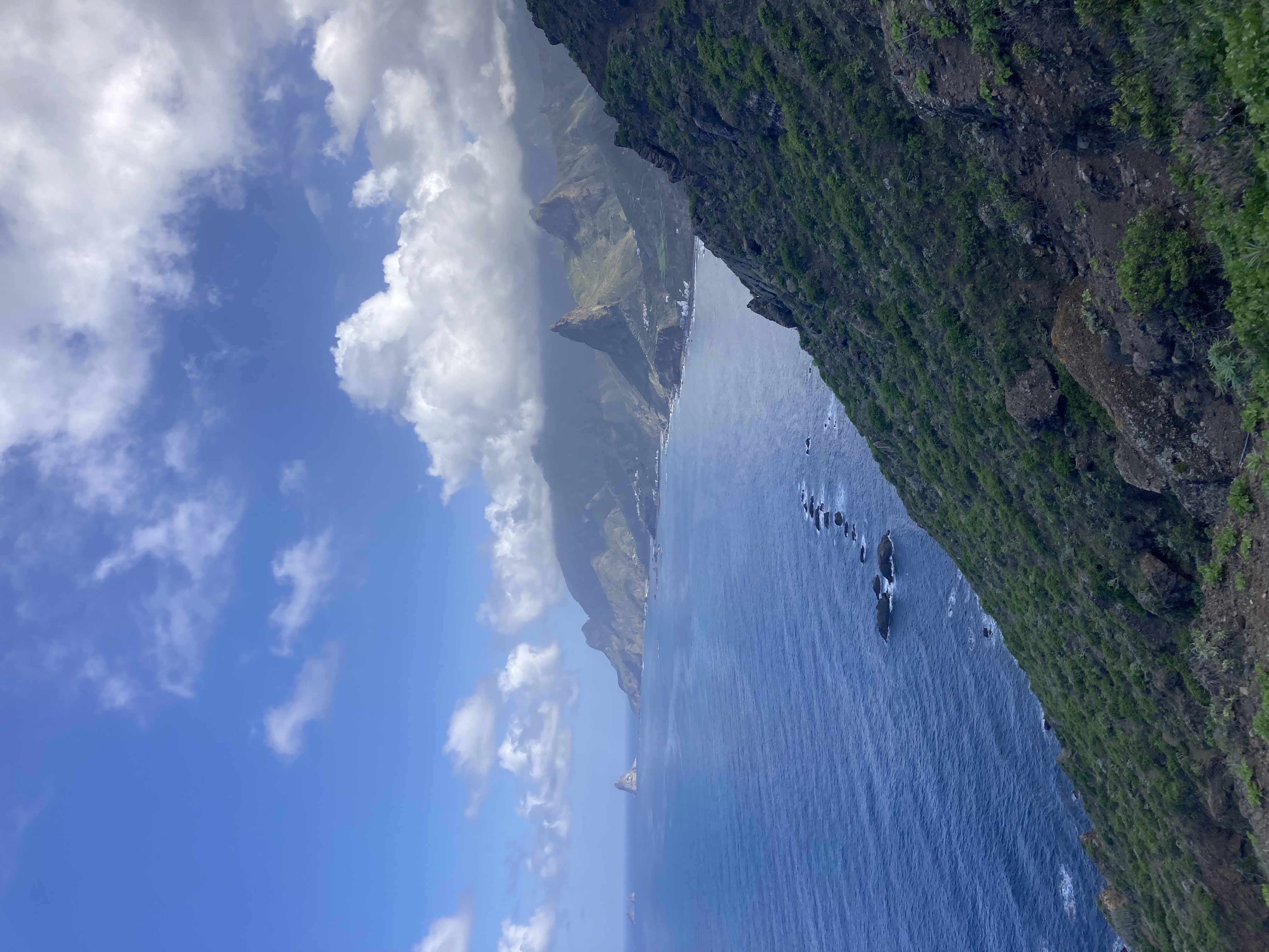
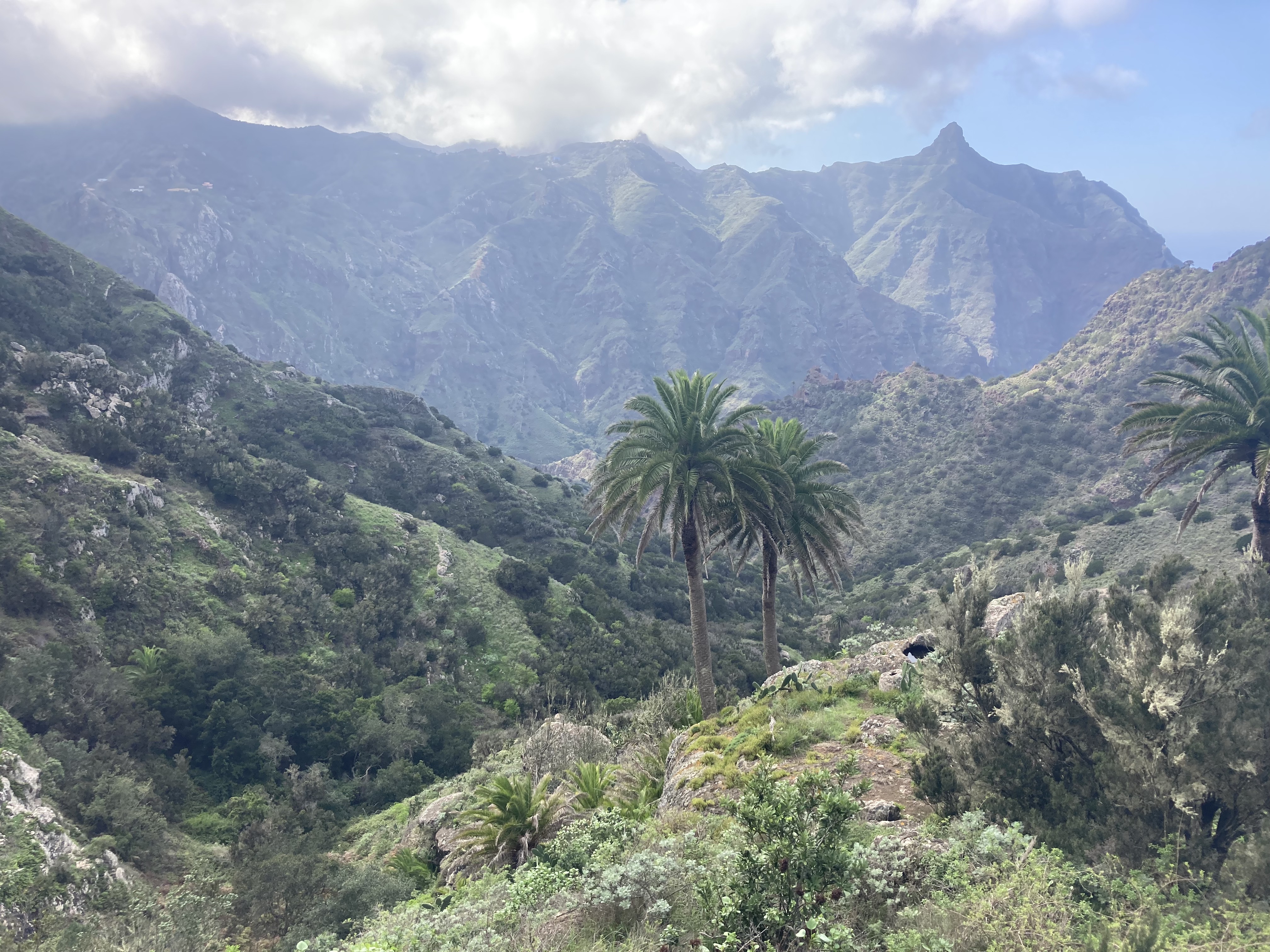
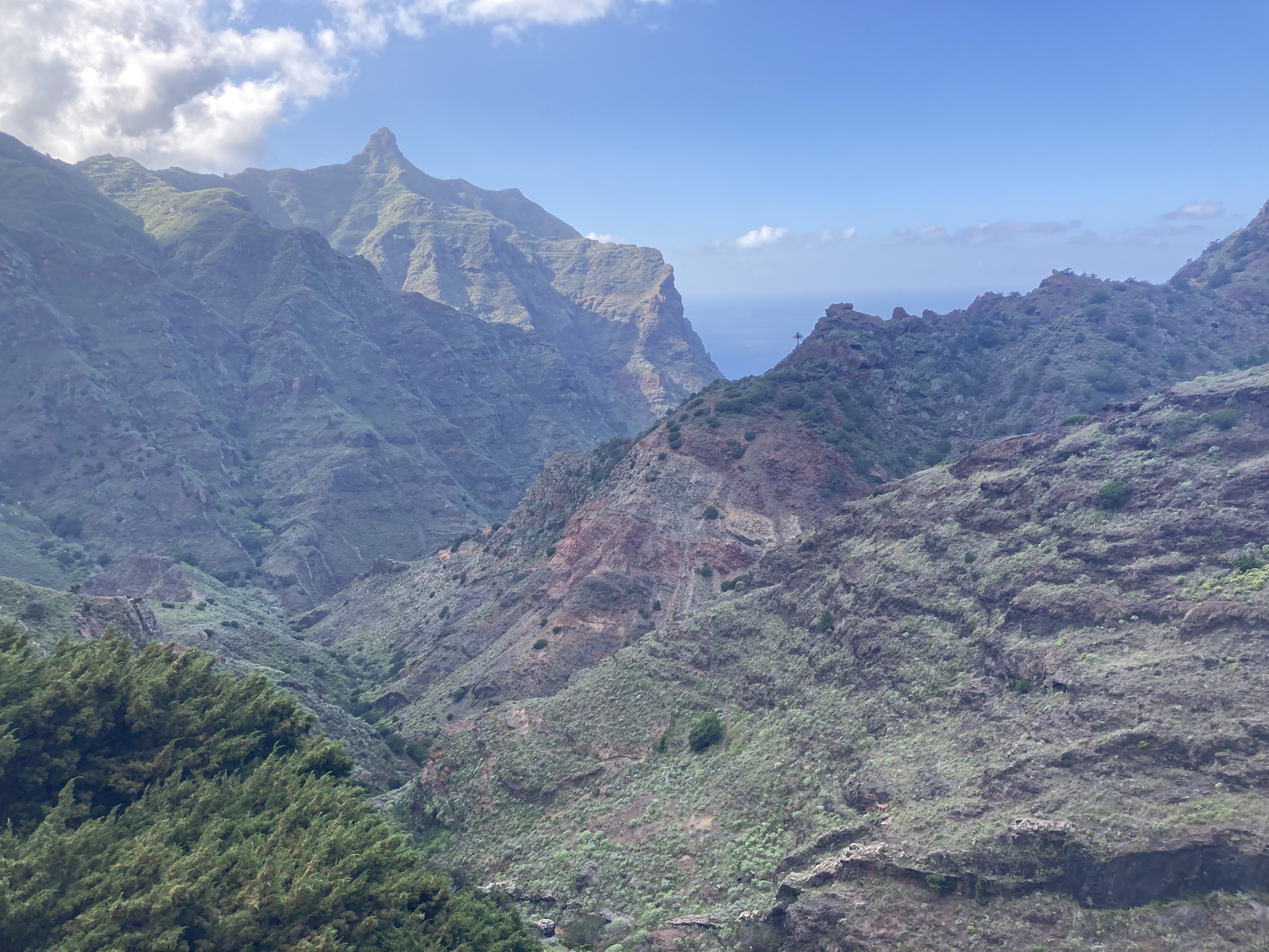
The path is steep and dramatic, offering breathtaking views of Roque de las Animas
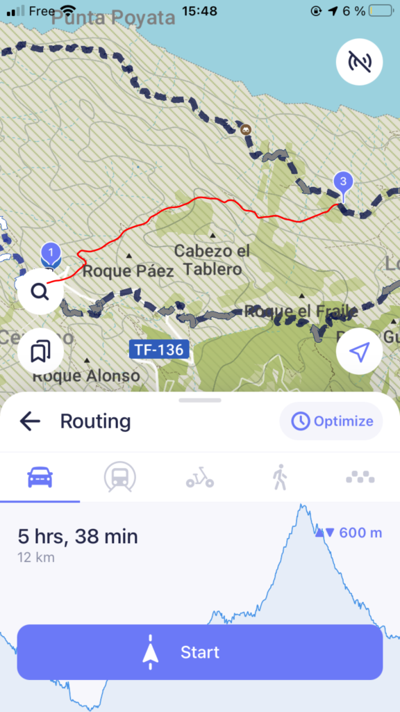
Step 4: We Take an Unofficial Shortcut and Enter Hiking Hell
This is where things went downhill—fast!
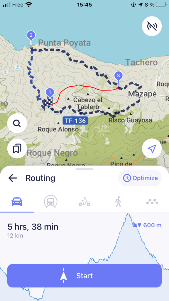
We’d seen a shortcut in a Spanish hiking guide and found it on Maps.me. So we followed it.
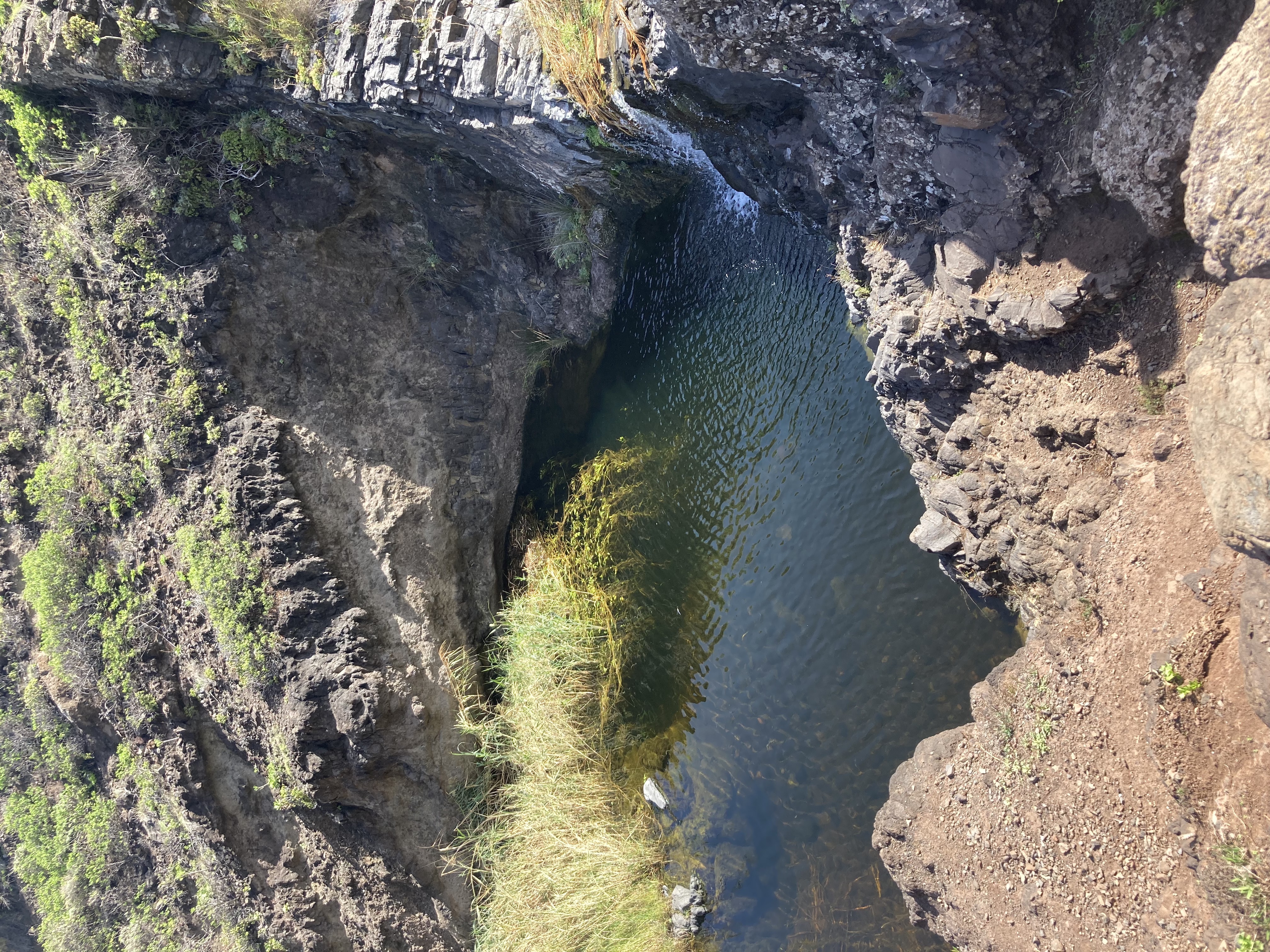
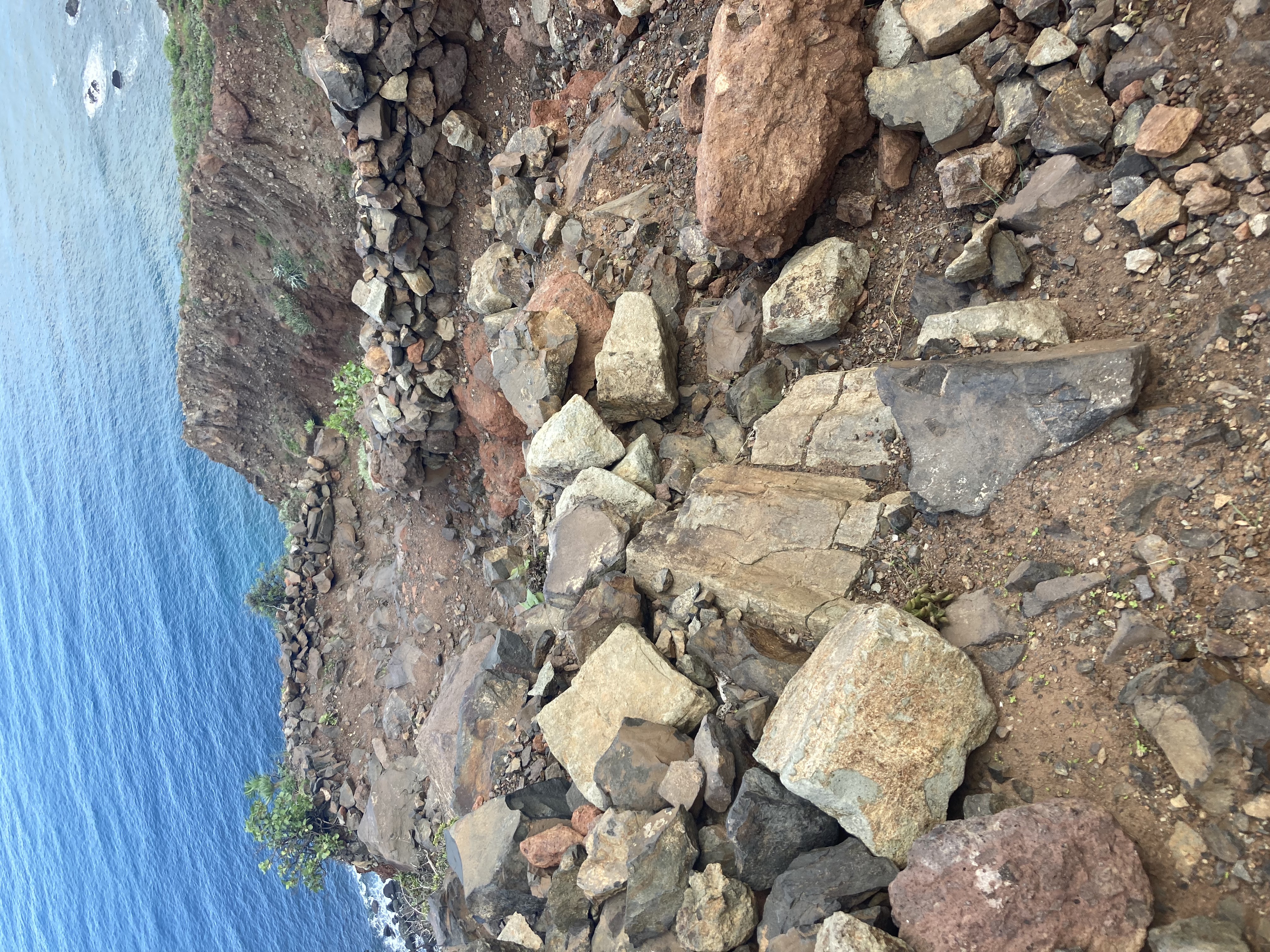
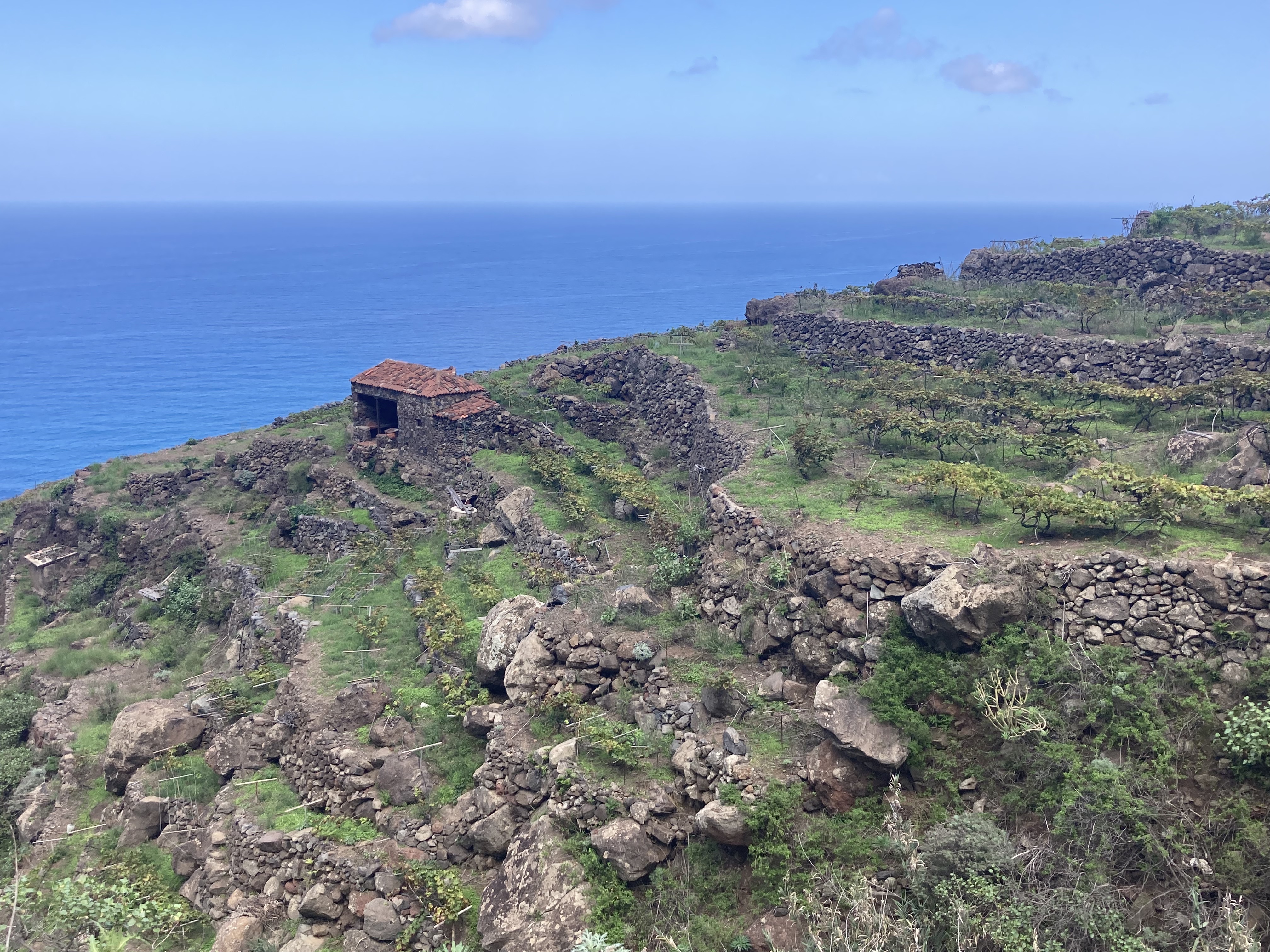
At first, the path climbs gently, but soon we hit sections where the trail had collapsed and we had to crouch, navigate super steep terrain… in short, goat trails.
We struggled—it was tough. But after a solid hour of climbing, we finally saw the summit.
Step 5: Reaching the Summit and Heading Down
Finally, the summit. We thought we were saved. The path got easier, though we still got lost now and then—thank goodness for Maps.me!
There were more sloping paths, but we started to catch glimpses of Afur in the distance.
Then we heard gunshots and barking dogs in the distance. We started to seriously freak out. There were “Private Property” signs everywhere.
But we were totally exhausted, in the middle of nowhere, just trying to find our way back. We took a small shortcut that seemed to lead to the village—we could even see our car!
Then out came a full-on angry farmer with a stick and a dog, yelling at us with the now-infamous “Porque tu tiene mucha carra” on repeat. Eventually, he let us go, telling us to go back up and turn right.
We definitely didn’t feel welcome, but hey—we made it! We saw the cute village church and finally reached the parking lot.
Find our tips on the best restaurants and beaches in Tenerife in our other articles.
Feel free to leave a comment or join us on Instagram @jeanmichelvoyage
Check Out Our Other Road Trips: